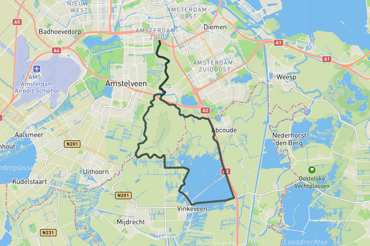
Interactive map
Zoom in, see climb and cafe markers, and download the GPX. Included with guide access.
Get Access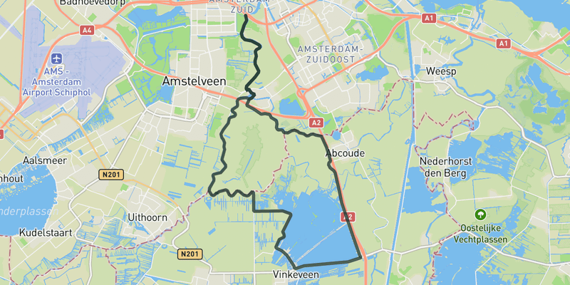 Show on Map
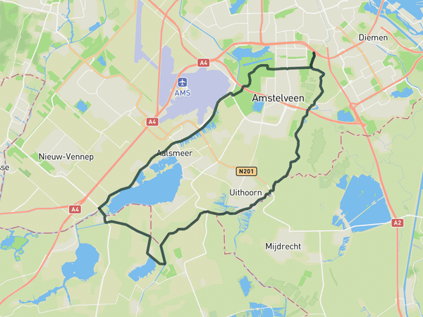
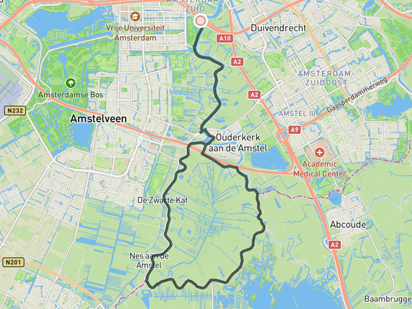
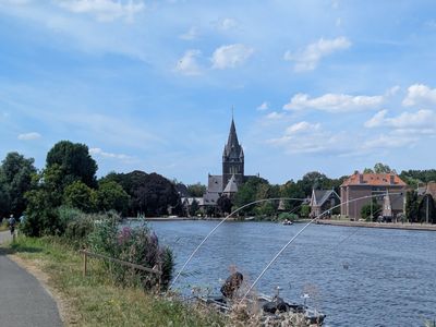
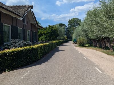
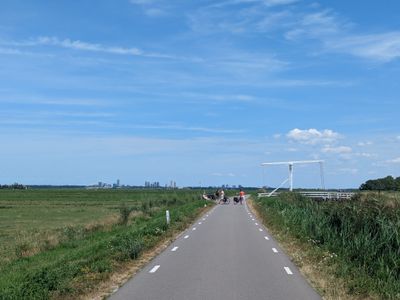
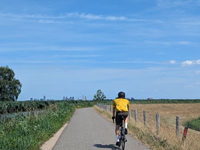
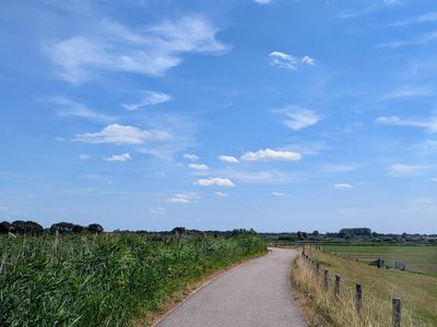
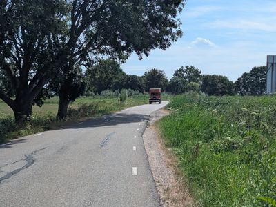
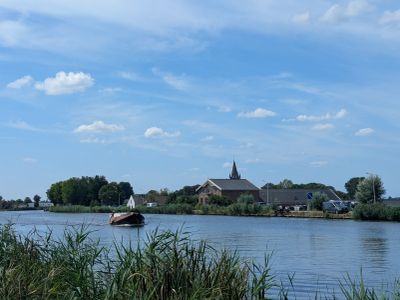
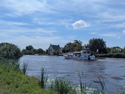
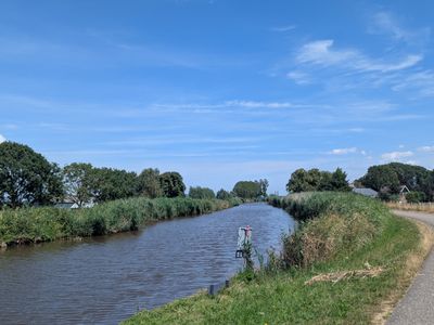
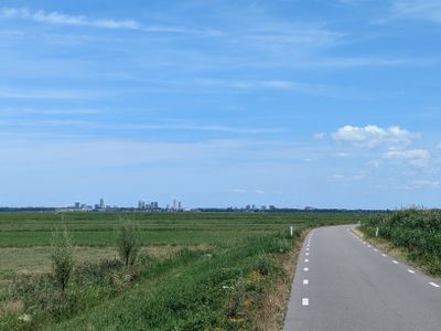
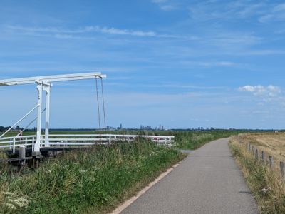
This loop takes you along the Rondehoep and goes further south to explore the Vinkeveense plassen, a man-made lake as a result of peat extraction in the 17th century.
Save this route, see all routes for Amsterdam, and plan trips with friends. Upgrade anytime for GPX downloads and climb details.
Sign up for freeThis road cycling route is part of our curated collection of Amsterdam cycling routes.
Discover where to stay, climbs, routes, bike rentals, cafes, and everything you need to plan your cycling trip in the Amsterdam Guide.
Loading trips...
Add "" to
Loading days...
Added successfully!