
Gran Canaria
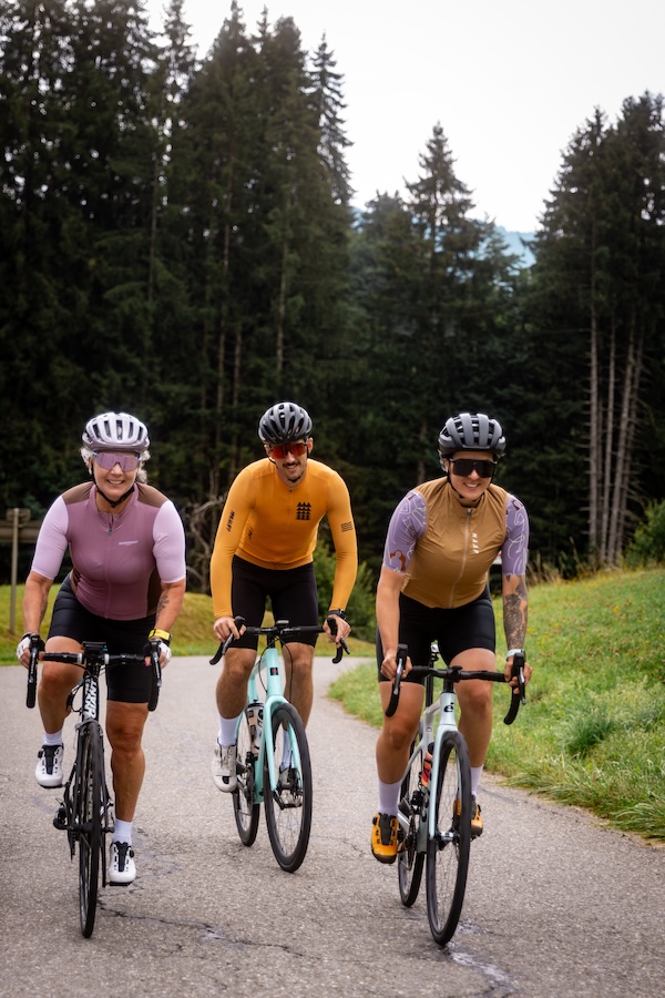
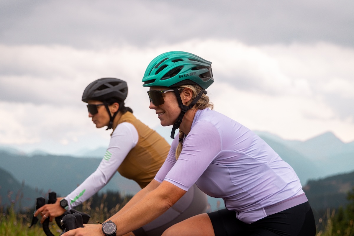
Gran Canaria stands out as one of the most complete winter cycling destinations in Europe. The landscape is bold and varied, with high volcanic peaks, remote coastlines and deep barrancos that cut through the island’s interior. Roads twist and climb in all directions, linking sleepy villages with vast viewpoints and hidden valleys. The infrastructure is strong, the tarmac is mostly excellent, and the climate is dry, mild and stable, offering a sharp contrast to the cold and damp of the European mainland in winter.
The riding suits a wide range of styles. You can climb for over 40 kilometers to reach Pico de las Nieves, spin along coastal flats, or test your legs on steep, narrow ascents that weave through terraced hillsides. In between are quiet roads and long ridgelines with uninterrupted views.
Gran Canaria also sees regular visits from cyclist training for the upcoming season. It's consistent weather and mix of terrain make it well suited to base miles and structured efforts, and many cyclists choose it for early season blocks and organized training camps.
Off the bike, the experience is just as rich. You can base yourself in a quiet mountain village or choose the comfort of a coastal resort. Maspalomas, Vecindario, Agaete and Teror all offer strong combinations of good riding, reliable services and a local atmosphere that reflects the island’s blend of colonial heritage and rural life.
Food, culture and natural variety complete the the picture. Traditional mountain villages serve dishes rooted in rural Canarian life, while the coast leans toward fresh seafood and international options. On rest days, there are quiet coves, green ravines, archaeological sites and mountain trails to explore. All this makes Gran Canaria more than just a place to log miles. It is a place to enjoy the ride, from the first climb to the last café stop.
Photo Gallery

.jpg?width=400&height=300&quality=80)


Best time to ride
Gran Canaria enjoys one of the most stable climates in Europe, making it a reliable cycling destination all year round.
Winters are mild and mostly dry, with crisp mornings and comfortable daytime temperatures. Spring and autumn are widely considered the best times to ride, with warm, settled weather and longer daylight hours. Summers can bring high heat inland and at low altitudes, but early starts and high-mountain routes offer ways to adapt.
Rain is rare through the year, especially across the southern half of the island. Up north, you will see more cloud cover and the occasional winter shower.
Where to stay
Base Towns

Agaete
Agaete is a quiet coastal town tucked beneath steep volcanic cliffs on Gran Canaria’s northwest corner. It’s far from the bustle of the island’s tourist zones, offering a peaceful base with direct access to some of the most dramatic and remote terrain. From here, you can ride the wild coastal road to La Aldea de San Nicolás or head inland toward Alto de Los Moriscos or the Cruz de Tejeda, using scenic, low-traffic routes. The town itself has a handful of traditional restaurants and cafes, a charming port area, and a few well-located accommodations. It’s best suited to riders who value solitude, tough climbs and raw, natural scenery.

Preview Content
Unlock the full guide

Preview Content
Unlock the full guide

Preview Content
Unlock the full guide
Accommodations (12)
Places in Gran Canaria that welcome you and your bike.

Mogán
Balcón del Mar Gran Canaria
Balcon del Mar is a Cycling Friendly apartment complex in Puerto Rico, on the south side of Gran Canaria. I Each apartment has two bedrooms with twin beds and a bathroom with a shower. The layout is simple, comfortable, and perfect for recovering after a good day on the bike. The complex also has a shared swimming pool with sun loungers, ideal for cooling down and unwinding after a long ride in the Gran Canaria sun. Balcon del Mar offers solid facilities for cyclists, including secure bike storage with video surveillance and a dedicated repair workshop. You can focus on the ride, knowing your bike is well looked after.

San Bartolomé de Tirajana
Casa en La Montaña (B&B)
Casa en La Montaña B&B offers a peaceful base just outside the main tourist zones of Maspalomas, giving it a quieter, more local feel. It’s a simple, well-kept guesthouse with comfortable rooms, bike storage and a relaxed atmosphere. The outdoor areas are ideal for a calm start or end to the day, and the home-style breakfasts give you a solid start before heading into the hills. Being slightly removed from the resort core means less traffic and easier access to rural routes, making it a great option if you value a low-key stay with direct links to inland climbs.

Preview Content
Unlock the full guide

Preview Content
Unlock the full guide

Preview Content
Unlock the full guide


Get full access to the Ride Atlas
Get the Gran Canaria Guide and 24 other destination guides for a one-time payment of just $34.95
How to get there
- By ferry: Gran Canaria has conections from Cádiz on the Spanish mainland, as well as inter-island routes connecting Gran Canaria to Tenerife, Fuerteventura and Lanzarote.
- By plain: With frequent flights connecting the island to mainland Spain and major cities across Europe. Gran Canaria Airport (LPA), located near the east coast, is well served by both full-service and low-cost airlines, and offers easy access to all parts of the island by road.
Bike Rentals (5)

Scott
Cyclo Canaria
Cyclo Canaria is a bike rental and service shop in the Maspalomas area. They offer a selection of racing bikes from race, comfort to hubrid. The team also provides workshop support for repairs and adjustments.

Premium Brands Available
Preview Content
Unlock the full guide

Premium Brands Available
Preview Content
Unlock the full guide

Premium Brands Available
Preview Content
Unlock the full guide

Premium Brands Available
Preview Content
Unlock the full guide
Get full access to the Ride Atlas
Get the Gran Canaria Guide and 24 other destination guides for a one-time payment of just $34.95
Shops (3)

Bike Lane Canarias
Bike Lane Canarias is a cyclist-oriented shop in Las Palmas offering road bikes, components and accessories, along with full mechanical service. It’s a reliable stop for gear, upgrades or repairs if you’re riding in Gran Canaria and need quick support. The staff is knowledgeable, and the store stocks a strong selection of brands and parts.

Preview Content
Unlock the full guide

Preview Content
Unlock the full guide
Cafes & bars (16)

Bar Félix
Bar Félix in La Aldea is a simple, local spot serving home-style food in a laid-back setting. Located near the centre of town, it has outdoor seating where you can keep your bike close. It's a perfect stop for a lunch break or a coffee stop before heading into the mountains again. The menu includes hearty dishes like grilled meats, stews and salads, all served in generous portions.

Preview Content
Unlock the full guide

Preview Content
Unlock the full guide

Preview Content
Unlock the full guide

Preview Content
Unlock the full guide


Get full access to the Ride Atlas
Get the Gran Canaria Guide and 24 other destination guides for a one-time payment of just $34.95
Popular Climbs (14)


Preview Content
Unlock the full guide

Preview Content
Unlock the full guide

Preview Content
Unlock the full guide


Road Cycling Routes (16)

Full loop around Gran Canaria
198.7 km | 3612 m | Epic
f you want to circle the volcano on Gran Canaria, then this one is for you. This epic route is a real challenge and should not be taken lightly. You can start basically anywhere on the loop and ride in either direction, but our route starts in Maspalomas so that you can get the hardest part out of the way first.

Tamada Natural Park Loop
87.2 km | 2206 m | Hard
This route starts in Agaete and follows the dramatic west coast before turning inland toward one of Gran Canaria’s most legendary climbs. After a rolling start through cliffs and terraced valleys, the road pitches up hard from La Aldea into the Valle de las Lágrimas. The gradients build quickly as the route winds past sheer rock walls and quiet fincas. You catch sharp views into ravines and dry riverbeds as the climb unfolds. Higher up, the road passes a chain of dams and reservoirs that add to the sense of scale. From this high plateau, the views open wide toward Roque Bentayga, standing alone in the island’s volcanic heart. From here, the route curves gently back north and returns you to Agaete.

Gran Canaria’s Heartland
104.1 km | 2751 m | Epic
This circular ride from Teror packs a full tour of Gran Canaria’s mountainous heartland into a single day. After a short descent to Arucas, the road climbs steadily to Cruz de Tejeda, threading through green valleys and pine-covered hillsides with a classic feel. From there, it follows the island’s high spine across open ridgelines, with huge views down into the ravines and out to the coast. Past Ayacata, the scenery becomes even more dramatic near the iconic Roque Nublo, before the final ascent to Pico de las Nieves takes you to the highest paved point on the island. The descent winds down through pine forests and small farming hamlets, crossing greener slopes and open plateaus as you approach Vega de San Mateo. From there, quiet backroads and gentle climbs take you through rural patches and terraces to loop back toward Teror.

Loop du France
Unlock the full guide

Loop du France
Unlock the full guide

Loop du France
Unlock the full guide
Map of Gran Canaria - 54 pins
Create a free account to explore
Sign up to interact with green pins and preview more routes. Or unlock everything.
Already have an account? Log inCommunity Discussion
Join the conversation, ask a question or share insights about Gran Canaria.
No questions yet
Be the first to ask the community about cycling in Gran Canaria!
Reviews
Write a reviewNo reviews yet
Be the first to share your experience about riding in Gran Canaria!
Explore more destinations


Loading trips...
Select Day
Add "" to
Loading days...
Added successfully!