Mont Ventoux
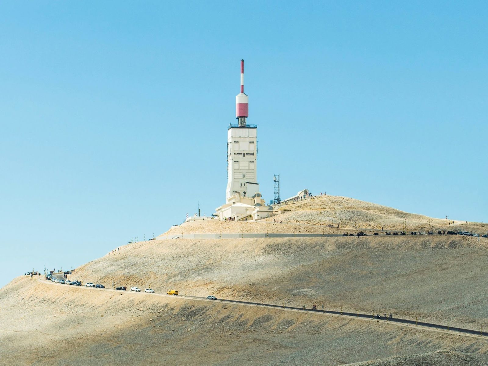
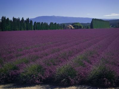
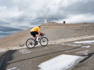
You see Ventoux from almost every road in the area. That bare white summit sits on the horizon while you ride through vineyards and lavender, a constant reminder of what you came for. It's one of the few cycling destinations where the mountain is the entire trip, three different ways up, a network of quieter roads around it, and a handful of small towns where the whole rhythm of the place revolves around the bike.
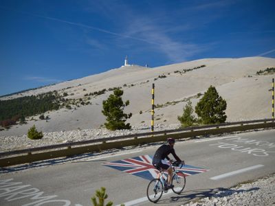
The three classic ascents each give you a different ride. Bedoin is the one with the reputation: steep, relentless forest climbing followed by the exposed moonscape above Chalet Reynard. Malaucene is less predictable, with a gradient that keeps changing and punchy ramps that make it harder to pace. Sault is the long, gentle approach, easy enough to hold a conversation for most of the way up before the final stretch hits you at Chalet Reynard. Ride all three in a day and you earn the Cingles du Ventoux, a challenge that draws riders here from across Europe.
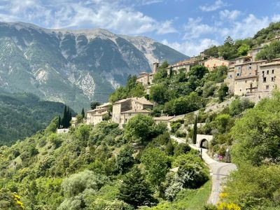
What surprises most people is how good the riding is away from the mountain itself. The Gorges de la Nesque is a road carved into limestone cliffs with sweeping views down into the canyon. Col de Fontaube takes you through quiet countryside on the north side where you barely see another car. The roads around the Albion plateau and toward the Baronnies are rolling, empty, and a completely different character from the climbs.
Bedoin and Sault are the two main bases. Bedoin is the busier one, with bike shops, cafes, and rental places clustered around the square, and the hardest climb starting at the edge of town. Sault is quieter and higher up, surrounded by lavender fields, with the most gradual route starting from the village. Malaucene works too, especially if you want to be on the north side. All three are close enough that you can ride between them without needing a car.
The roads are well surfaced and mostly quiet outside of peak summer. In July and August the Bedoin side gets busy with tourist traffic and the heat pushes you toward early starts. May, June, and September are the sweet spot: the summit is open, the temperatures are comfortable, and you'll share the roads with other cyclists more than cars.
Photo Gallery
Best time to ride
Mont Ventoux can be ridden for much of the year, but conditions are most reliable from late spring through early autumn. The summit is often closed in winter due to snow, usually from November to April, and even when the lower slopes are clear, the upper section can be cold, exposed, and unpredictable.
From May to October, the mountain is fully accessible and much easier to plan. Spring and early autumn offer the best balance, with mild temperatures and quieter roads. In summer, long daylight hours and clear skies make riding straightforward, but it is also the busiest period, with more traffic and a steady flow of tourists on the climb. Early starts become important to avoid both the heat and the crowds, especially on the Bédoin side.
Regardless of when you are going make sure to bring wind protection or an extra layer for the ascent to the summit and the downhill section.
Where to stay
Base Towns
Bèdoin
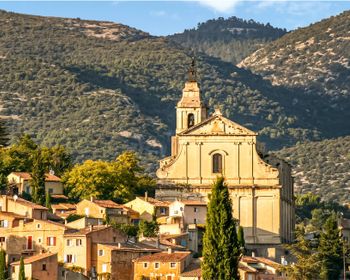
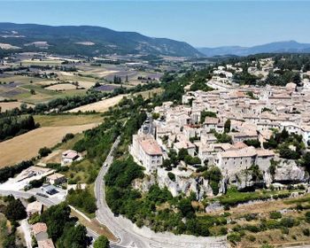
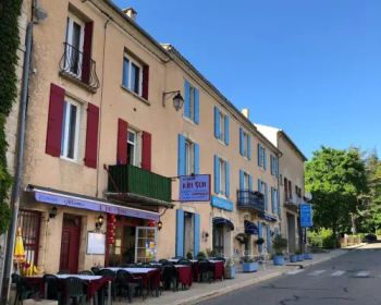
Bedoin is the main cycling hub for Ventoux. Bikes lean against every wall on the main square, cafes fill with riders from early morning, and the whole village runs on the rhythm of the mountain. There are bike shops, rental places, and enough restaurants and bars to keep evenings interesting. It gets busy in peak summer. The Bedoin climb, the hardest and most famous of the three routes, starts at the edge of town. You're on the road within minutes. Beyond Ventoux, quieter lanes run through vineyards toward Caromb, Le Barroux, and Malaucene via Col de la Madeleine, giving you plenty of variety without needing a car.
Preview Content
Unlock the full guide
Accommodations (8)
Places in Mont Ventoux that welcome you and your bike.
Lafare
Au Soleil du Bonheur
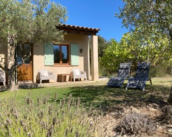
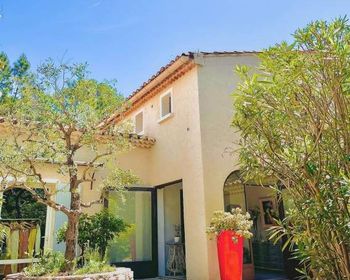
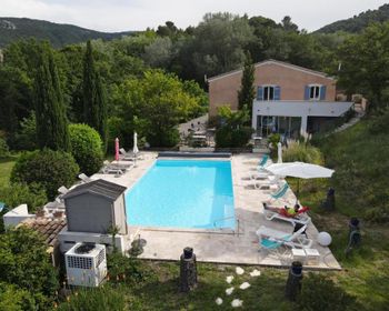
A small guesthouse on the quiet edge of Bedoin with a garden and pool. It feels more like staying at someone's home than a hotel, with an informal setup and only a handful of rooms. Bike storage is secure and the location works for early starts on the Ventoux.
Bédoin
Cycle Coffee Society - Ventoux
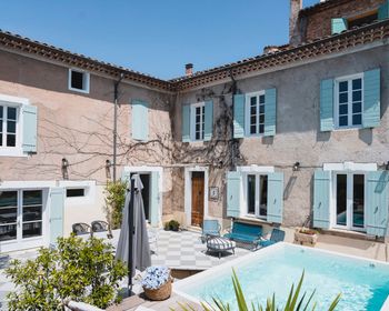
An 18th-century house in the old centre of Bedoin, converted into a cyclist-specific rental with six bedrooms, a private pool, and a fully equipped kitchen. Run by people who ride, so the layout reflects it: secure bike storage, space to sort kit, and coffee ready when you need it. The Bedoin climb starts a few hundred metres from the front door. The property can host up to 12 people maximum, making it a great place for both groups and small teams.
Preview Content
Unlock the full guide
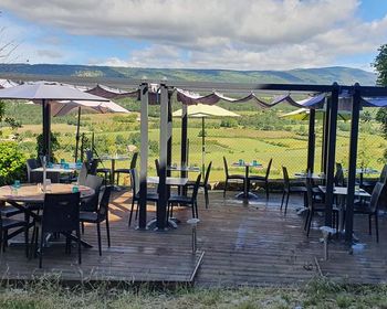
Preview Content
Unlock the full guide
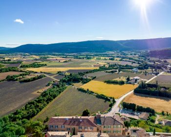
Preview Content
Unlock the full guide
Get full access to the Ride Atlas
Get the Mont Ventoux Guide and 25 other destination guides for a one-time payment of just $34.95
How to get there
By Car
Access to Mont Ventoux is straightforward from across southern France and neighboring countries. The area has good road connections from Marseille, Lyon and beyond.
By Train
The closest major station is Avignon TGV, with high-speed connections to Paris, Lyon and Marseille. From there, you can continue by regional train or taxi toward Carpentras or nearby towns. Traveling with a bike is possible, but it often requires booking specific services or using bike-friendly regional trains.
By Plane
The most convenient airports are Marseille Provence and Avignon, with Marseille offering the widest range of international flights. From either airport, it is around 1 to 1.5 hours by car to reach the Ventoux area.
Bike Rentals (6)

Giant
Albion Cycles
A small, well-organised rental shop in Sault with Giant bikes prepped for the Ventoux. They also run a workshop for adjustments and basic repairs.
Premium Brands Available
Preview Content
Unlock the full guide
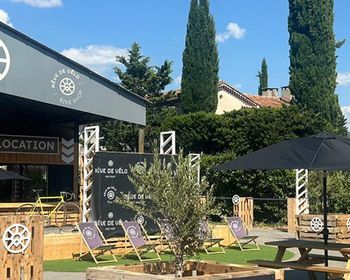
Premium Brands Available
Preview Content
Unlock the full guide
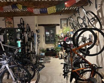
Premium Brands Available
Preview Content
Unlock the full guide

Premium Brands Available
Preview Content
Unlock the full guide
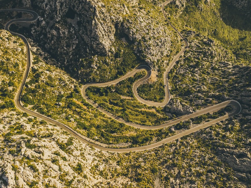
Premium Brands Available
Preview Content
Unlock the full guide
Get full access to the Ride Atlas
Get the Mont Ventoux Guide and 25 other destination guides for a one-time payment of just $34.95
Shops (6)
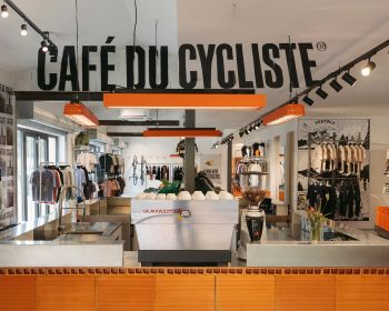
Café du Cycliste Ventoux
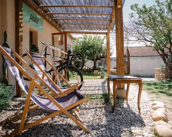
The Ventoux outpost of the Cafe du Cycliste brand. High-end cycling apparel store with a cafe attached. You can browse kit, have a coffee on the terrace, and ease into or out of a ride. More polished than the typical Bedoin cafe, but relaxed enough to spend time before or after your ride up the Ventoux.
Preview Content
Unlock the full guide
Preview Content
Unlock the full guide
Preview Content
Unlock the full guide
Preview Content
Unlock the full guide
Preview Content
Unlock the full guide
Cafes & bars (10)
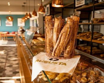
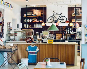
Augusta - Breads & Wonders
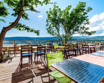
Quality bread, pastries, and coffee in a calm setting. A good mid-ride refuel if you want something more tasty than a gel.
Preview Content
Unlock the full guide
Preview Content
Unlock the full guide
Preview Content
Unlock the full guide
Preview Content
Unlock the full guide
Get full access to the Ride Atlas
Get the Mont Ventoux Guide and 25 other destination guides for a one-time payment of just $34.95
Popular Climbs (9)
Preview Content
Unlock the full guide
Preview Content
Unlock the full guide
Preview Content
Unlock the full guide
Road Cycling Routes (12)
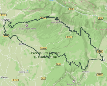
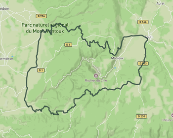
Mount Ventoux from Sault descending by Malaucène
91.1 km • 2098 m • Hard
A big loop that starts with the gentle Sault approach to Ventoux. You ride most of the way at a comfortable gradient before joining the steeper final stretch near Chalet Reynard. The descent toward Malaucene is varied and fast. From Malaucene you cross Col de la Madeleine and drop through Bedoin, then take the Route de la Gabelle back toward Sault. That last stretch is rolling and forested, with a viewpoint at the Belvedere de la Gabelle before you drop back into town
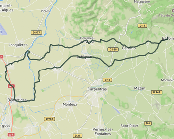
Into the Provence countryside
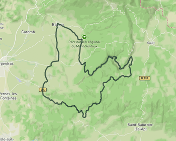
71 km • 428 m • Moderate
This route rolls out of Bédoin and drifts into a completely different landscape, leaving the slopes of Ventoux behind for open farmland and quiet, flat roads. It passes through a string of small towns and villages like Aubignan and Sarrians, where the pace slows and the riding becomes more about flow than effort. As the route stretches further west, it brushes sections near the l’Ouvèze, with long straight lines through vineyards, orchards and fields framed by cypress trees. The terrain stays mostly gentle, making it ideal for steady riding, while the constant views of Ventoux in the distance keep a quiet connection to the mountain.
Vineyards and lavender fields of the Provence
66.1 km • 927 m • Moderate
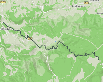
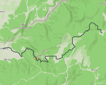
A mellow day exploring the quieter roads south and east of Ventoux. From Sault you head toward the Belvedere de la Gabelle and along the Route de la Gabelle through forest and open plateaus. The riding is steady and unhurried. Past Flassan the road drifts through vineyards, orchards, and small villages toward Villes-sur-Auzon and Methamis. The climb over Cote de Saint-Hubert adds some structure without being demanding. Ventoux's bare summit appears in the distance at several points before the route loops back to Sault.
Loop du France
Unlock the full guide
Loop du France
Unlock the full guide
Loop du France
Unlock the full guide
Map of Mont Ventoux - 35 pins
Create a free account
Sign up to start exploring select pins for free.
Already have an account? Log inCommunity Discussion
Join the conversation, ask a question or share insights about Mont Ventoux.
No questions yet
Be the first to ask the community about cycling in Mont Ventoux!
Reviews
Write a reviewNo reviews yet
Be the first to share your experience about riding in Mont Ventoux!
Explore more destinations
Loading trips...
Select Day
Add "" to
Loading days...
Added successfully!