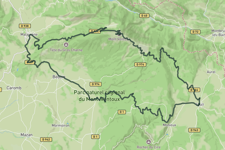
Interactive map
Zoom in, see climb and cafe markers, and download the GPX. Included with guide access.
Get Access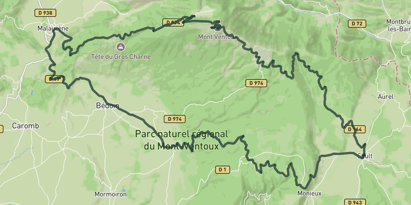 Show on Map
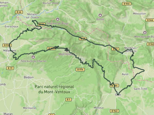
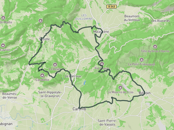
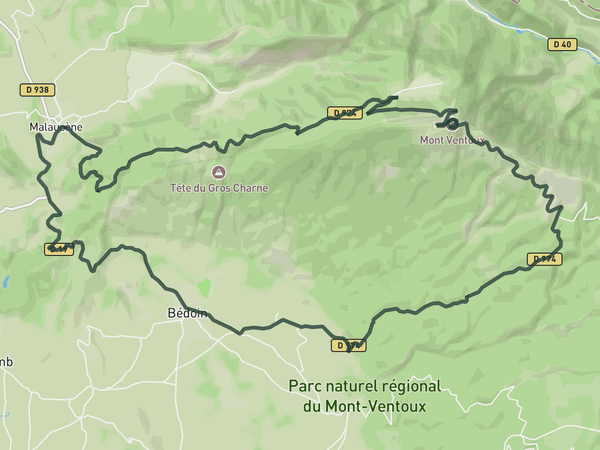
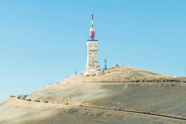
A big loop that starts with the gentle Sault approach to Ventoux. You ride most of the way at a comfortable gradient before joining the steeper final stretch near Chalet Reynard. The descent toward Malaucene is varied and fast.
From Malaucene you cross Col de la Madeleine and drop through Bedoin, then take the Route de la Gabelle back toward Sault. That last stretch is rolling and forested, with a viewpoint at the Belvedere de la Gabelle before you drop back into town
Save this route, see all routes for Mont Ventoux, and plan trips with friends. Upgrade anytime for GPX downloads and climb details.
Sign up for freeThis road cycling route is part of our curated collection of Mont Ventoux cycling routes.
Discover where to stay, climbs, routes, bike rentals, cafes, and everything you need to plan your cycling trip in the Mont Ventoux Guide.
Loading trips...
Add "" to
Loading days...
Added successfully!