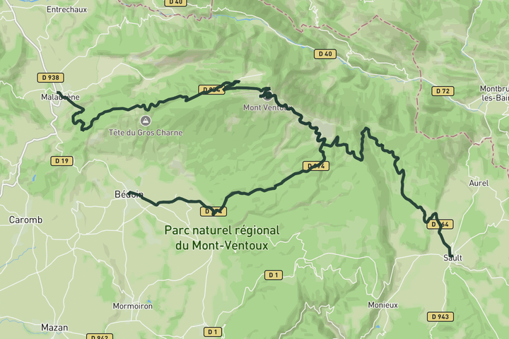
Interactive map
Zoom in, see climb and cafe markers, and download the GPX. Included with guide access.
Get Access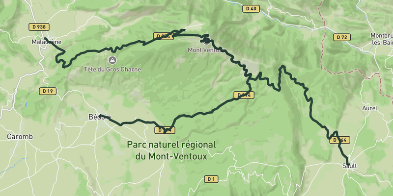 Show on Map
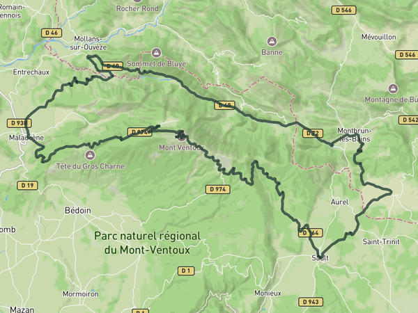
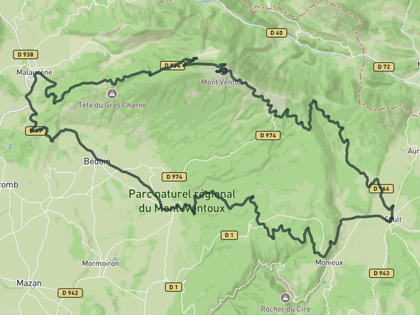
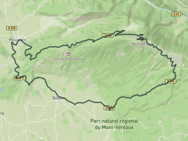
Three ascents of Ventoux in one day. You take on the Bedoin side first while your legs are fresh, then descend to Malaucene and climb the irregular second route. After a second descent, you finish with the Sault approach, the most gradual, which is a serious challenge by that point.
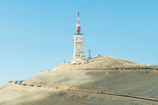
It's an endurance challenge that many riders specifically come for. The distance and elevation are serious, but the structure works in your favour: hardest first, easiest last. By the third summit you know every bend above Chalet Reynard.
Save this route, see all routes for Mont Ventoux, and plan trips with friends. Upgrade anytime for GPX downloads and climb details.
Sign up for freeThis road cycling route is part of our curated collection of Mont Ventoux cycling routes.
Discover where to stay, climbs, routes, bike rentals, cafes, and everything you need to plan your cycling trip in the Mont Ventoux Guide.
Loading trips...
Add "" to
Loading days...
Added successfully!