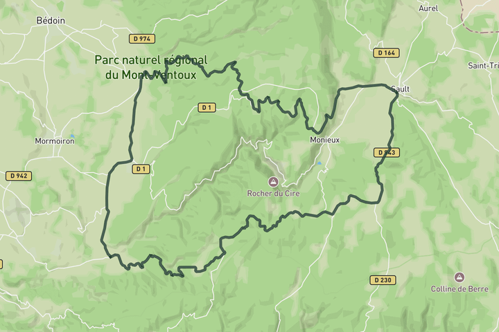
Interactive map
Zoom in, see climb and cafe markers, and download the GPX. Included with guide access.
Get Access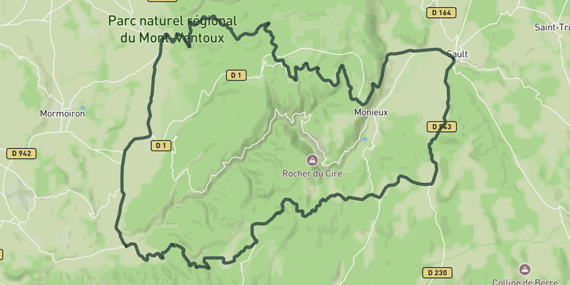 Show on Map
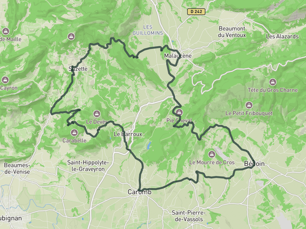
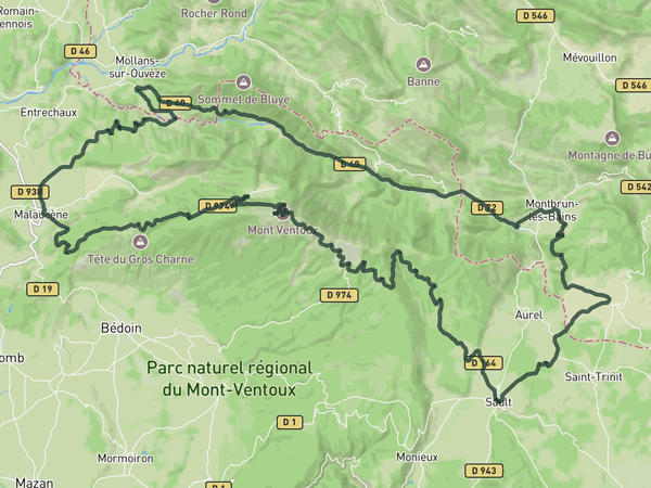
A mellow day exploring the quieter roads south and east of Ventoux. From Sault you head toward the Belvedere de la Gabelle and along the Route de la Gabelle through forest and open plateaus. The riding is steady and unhurried.
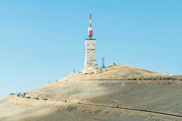
Past Flassan the road drifts through vineyards, orchards, and small villages toward Villes-sur-Auzon and Methamis. The climb over Cote de Saint-Hubert adds some structure without being demanding. Ventoux's bare summit appears in the distance at several points before the route loops back to Sault.
Save this route, see all routes for Mont Ventoux, and plan trips with friends. Upgrade anytime for GPX downloads and climb details.
Sign up for freeThis road cycling route is part of our curated collection of Mont Ventoux cycling routes.
Discover where to stay, climbs, routes, bike rentals, cafes, and everything you need to plan your cycling trip in the Mont Ventoux Guide.
Loading trips...
Add "" to
Loading days...
Added successfully!