Road Cycling Routes near Gemünd
Discover the best road cycling routes near Gemünd in Nationalpark Eifel, Germany. We've curated 9 road cycling routes within riding distance of Gemünd. The area offers hilly terrain. Each route includes GPX files, detailed elevation profiles, highlighted climbs, and recommended café stops along the way.
9 routes

Loop to Vossenack - Monschau - Hammer Climb
91.4 km • 1520 m • Hard
The route features climbs to Mariawald, Vossenack, and Hammer rewarding you with forest views and peaceful roads. A scenic section on the Vennbahn leads gently into the charming town of Monschau. On your way back the climb to Hammer will provide a good challenge. On the descent from Kesternich to Einruhr you'll be rewarded with Eifel panoramas.

Short climbing loop including Rur Dam
49.7 km • 970 m • Moderate
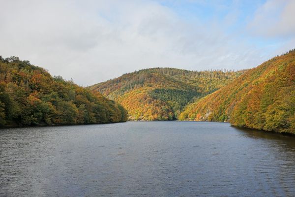
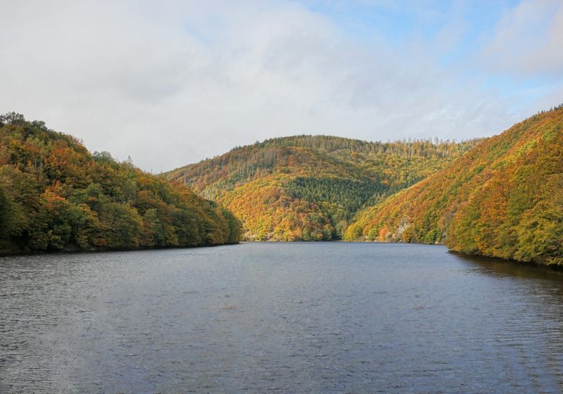
This route from Gemünd packs plenty of climbing in a compact loop. It begins with a steady ascent to Wolfgarten through forest roads. 12km into the ride you pass the impressive Rurtalsperre dam with beautiful views of the Rursee. The final climb up to Mariawald from Heimbach adds a satisfying challenge before the descent back to town.

Short Climbing loop from Monschau
47.1 km • 784 m • Moderate
This short loop packs 3 climbs and a relaxed return to Monschau via the Vennbahn.

Around the Nationalpark - Rursee
84.3 km • 1340 m • Moderate
This 84.3 km loop from Gemund circles the edge of the Eifel National Park, combining forest serenity with open lake views. The second half treats you to stunning views over the Rursee, making the effort well worth it. Key climbs include the ascent from Rurberg to Steckenborn and the final climb to Mariawald from Heimbach.

Rursee Views
47.1 km • 784 m • Moderate
This route goes from Monschau to the climbs east of the Rursee. The steady ascents offer plenty of opportunities to enjoy panoramic views of the lake and the surrounding countryside.

Sign up for free to see all :count routes for :destination
Already have an account? Log inSign up for free to see all 9 routes for Nationalpark Eifel
Get access to the map, filters and routes.
Other areas in Nationalpark Eifel
Plan Your Visit to Nationalpark Eifel
Discover where to stay, climbs, routes, bike rentals, cafes, and everything you need to plan your cycling trip in the Nationalpark Eifel Guide.