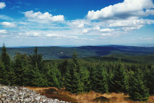
The Best Road Cycling Routes in Taunus
Discover the best road cycling routes in Taunus, Germany. Our curated collection includes 10 handpicked road cycling routes, from shorter coffee rides to challenging all-day rides. The region offers hilly terrain, ideal for riders who enjoy rolling landscapes and varied terrain. Each route includes GPX files, detailed elevation profiles, highlighted climbs, and recommended café stops along the way. Browse the cycling routes map below to find your next ride, or use the filters to narrow by distance, elevation, and difficulty.
10 routes
Castles and climbs
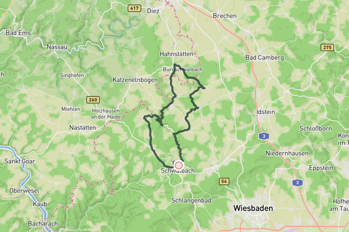
This loop takes you along some fairytales castles and through some quiet valleys. You'll see Burg Hohenstein perched just above you – if you're up for a challenge, try to ride up to it. The castle can be visited. Same goes for the castle in Burgschwalbach, which is remarkably well preserved. If you want to see it from up close, you'll find yourself on a steep slope. Should you be happy with just looking at the castles from the valleys, you're in for a joy ride.
Waldbahn und Saalburg
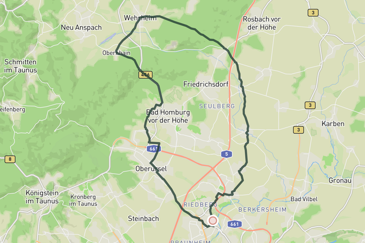
A gentle ride with two rolling hills, perfect to get warmed up for the more serious climbing the Taunus has on offer. Also suited for a more relaxed afternoon ride. Both climbs have very little traffic and never get too steep.
Best of the East
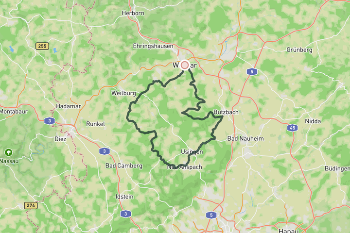
This hilly route takes you through some of the most beautiful parts of eastern Taunus. There's plenty of hills to climb and lovely little villages to look at. A definite highlight is Braunfels, the medieval gem. This is a good choice for a coffee stop in the shade of the castle.
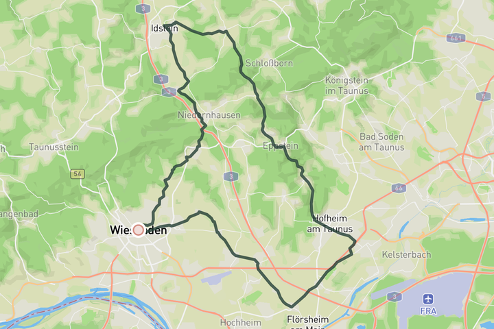
Roman Roads
Taunus used to be the border region of the Roman Empire. You'll be reminded of this fact on this route that takes you along reconstructed watchtowers and the sites of ancient military forts. The climbs are steady and never steep, so this is one of the faster loops you can do in Taunus.
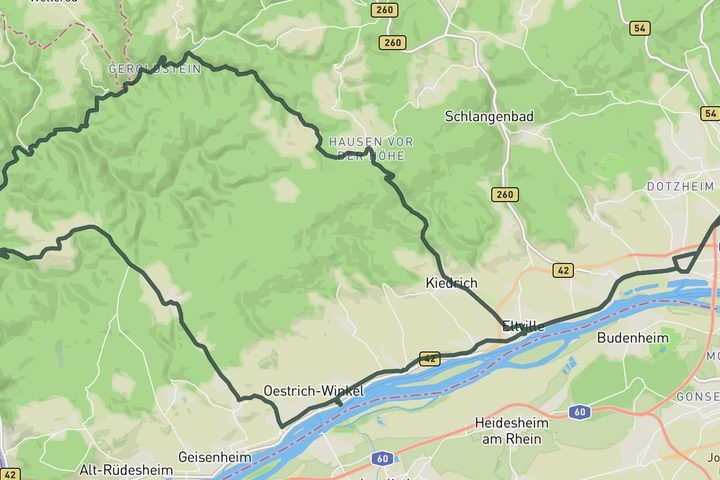
Wispertal
Wispertal is one of the most remote areas of Taunus. You're more likely to meet wildlife than people around here. This ride gives you a taste of this unspoilt piece of nature. The two long climbs are demanding, long and steep. There are not many resupply options in between them, so come prepared. The riding here is tough, but rewarding. The last stretch takes you along the Rhein river and through some picturesque villages, where you'll find plenty of cosy cafés to replenish lost energy.
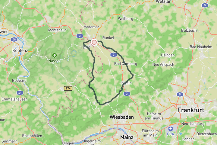
In the heart of Taunus
The section between Esch and Eschenhahn is challenging, but the rest is fast rolling and simply enjoyable. After reaching the highest point, a fast section through the Aar valley takes you to the bustling town of Limburg, ideal for a coffee stop.
Sign up for free to see all 10 routes
Get access to the map, filters and routes.
Routes by area
Plan Your Visit to Taunus
Discover where to stay, climbs, routes, bike rentals, cafes, and everything you need to plan your cycling trip in the Taunus Guide.