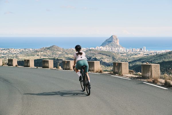
Road Cycling Routes near Dénia
Discover the best road cycling routes near Dénia in Calpe - Costa Blanca, Spain. We've curated 5 road cycling routes within riding distance of Dénia. The area offers mountainous terrain. Each route includes GPX files, detailed elevation profiles, highlighted climbs, and recommended café stops along the way.
5 routes
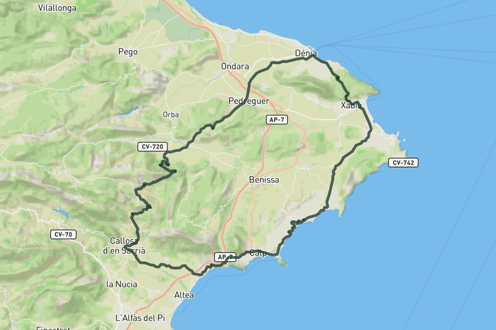
Coastal loop to Coll de Rates
Before heading to Coll de Rates, this route follows the coast toward Xàbia and Dénia. The road rolls nicely here with a few short climbs to wake up the legs before turning inland. Once you do, the focus is clear as you ride toward Coll de Rates, the most famous climb in the area, then enjoy a mostly downhill run back to the coast.
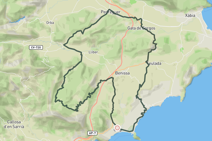
Puerto de Bernia from Calpe
From Calpe, the route rolls inland past views of the Peñón de Ifach before soft climbs lead to Jalón, where the main ascent begins. Puerto de Bernia is one of the iconic climbs of the Costa Blanca, a narrow road that twists up the ridge with stone guardrails, hairpins, and wide views. At the top, the landscape opens fully to the sea and the mountains behind. The descent through Pinos is smooth and quiet, dropping between terraces and limestone slopes before returning steadily to Benissa and back to the coast.
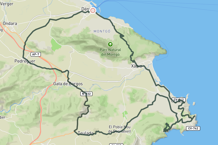
Marina Alta Tour
The route rolls out of Dénia on quiet roads through orchards toward Pedreguer and Gata de Gorgos. From there, a short climb shaded by pines takes you up to Teulada before reaching the coast. The stretch between Cap Negre and Cala Granadella is packed with sharp turns and punchy climbs, offering spectacular views over cliffs, coves, and the wide bay of Jávea. After tracing the coastline, the route returns over the Montgó, with a steady climb and long descent back to Dénia.
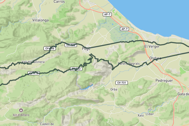
Vall de Gallinera and Vall d'Ebo from Dénia
The route from Dénia begins flat, rolling through citrus groves toward Pego. From there, the road rises into the Vall de Gallinera, a lush and winding valley lined with terraces, stone villages, and open mountain views. After passing through the string of hamlets, the route drops through a flowing descent into Vall d’Ebo, where the road curves tightly along rocky slopes and opens to wide vistas. The return to Dénia follows quiet roads between orchards and farmland, calm and sunlit all the way to the coast.
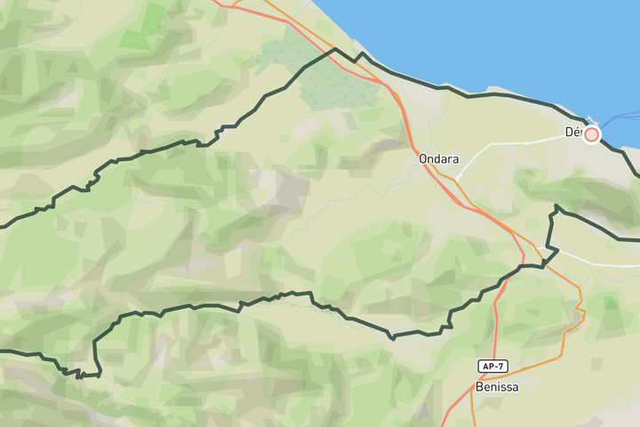
Puerto de Tollos and Montgó from Dénia
The route leaves Dénia along quiet coastal roads before turning inland through the Pego marshes, a flat stretch surrounded by rice fields and open sky. From Pego, the climb begins toward the hidden Puerto de Tollos, a remote road flanked by terraces and almond groves. You descend through the quiet village of Famorca and into the Jalón valley, where places like Alcalalí, Jalón or Llíber make for perfect coffee stops. The final climb heads into the Montgó Natural Park, with a winding descent offering views of the sea before returning to Dénia.
Sign up for free to see all 5 routes
Get access to the map, filters and routes.
Other areas in Calpe - Costa Blanca
Plan Your Visit to Calpe - Costa Blanca
Discover where to stay, climbs, routes, bike rentals, cafes, and everything you need to plan your cycling trip in the Calpe - Costa Blanca Guide.