Road Cycling Routes near Nice
Discover the best road cycling routes near Nice in Nice - Cote d'Azur , France. We've curated 9 road cycling routes within riding distance of Nice. The area offers mountainous terrain. Each route includes GPX files, detailed elevation profiles, highlighted climbs, and recommended café stops along the way.
9 routes
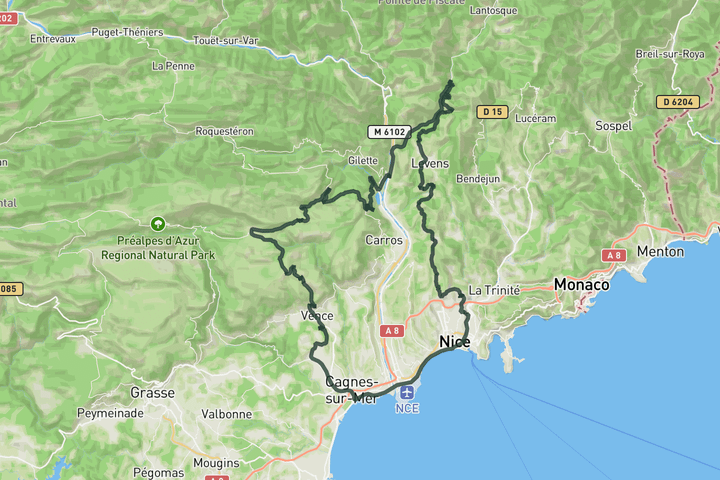
Col de Vence and the Var river valley loop from Nice
127.6 km • 2201 m • Hard
Leaving Niza along the coast toward Cagnes-sur-Mer, this route eases you into the day before the road begins its gradual rise inland toward Vence. The climb of Col de Vence is steady and rhythmic, offering wide views across the Var valley and a more open, rolling mountain feel than the tighter coastal ascents. From there the character shifts into quieter countryside roads through Bouyon and down toward Saint-Martin-du-Var, before entering the Vésubie valley and climbing again toward Duranus. The final return via Saint-Blaise and Aspremont keeps the terrain rolling and traditional, finishing with elevated views back toward the coast. It is a long, varied loop that blends sea level riding, steady climbing and quiet inland roads into one coherent day.
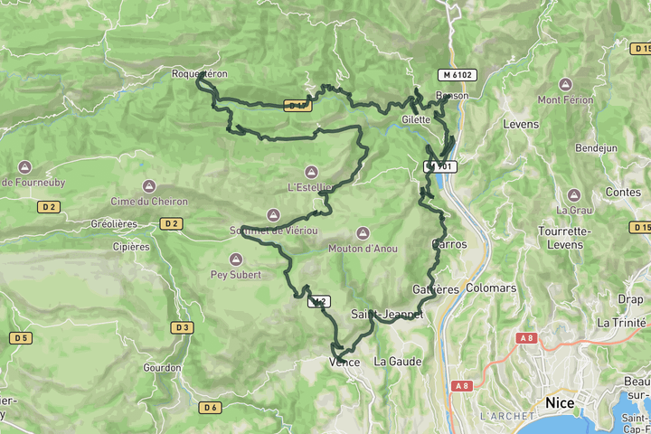
Col de Sant Marc from Vence
111.1 km • 1937 m • Hard
This loop begins by holding a steady line above the Var valley, rolling along elevated roads toward Pont Charles-Albert before turning inland. The scenery shifts quickly as you join the balcony roads of the Estéron, with open views across limestone ridges and deep valleys. The terrain here is undulating rather than steep, but it gradually pulls you further into quieter countryside. From Bouyon the climb of Col Saint Marc adds a more focused effort in a calm, rural setting. The return over Col de Vence brings a smooth, flowing descent back toward Vence, finishing a varied route that mixes scenic balcony roads with steady inland climbing.
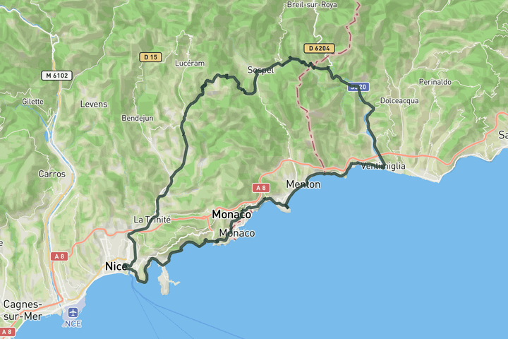
Col de Braus and back via the coast
110.3 km • 1900 m • Hard
Starting from Menton, this ride has a clear double personality. The first part hugs the coastline into Ventimiglia with open sea views and a Riviera feel before turning inland up the Roya valley, where the landscape tightens and the road begins to climb into quieter mountain terrain. Crossing back into France toward Sospel, the shift from coast to alpine setting feels complete as you begin the ascent of Col de Braus from its eastern side. Riding Braus this way carries a special reward: descending the iconic western face, where perfectly stacked hairpins drop dramatically toward the valley below. After returning toward Nice, the route finishes along the coast past Monaco, bringing the sea back into view and closing the loop with the same Riviera brightness that opened the day.
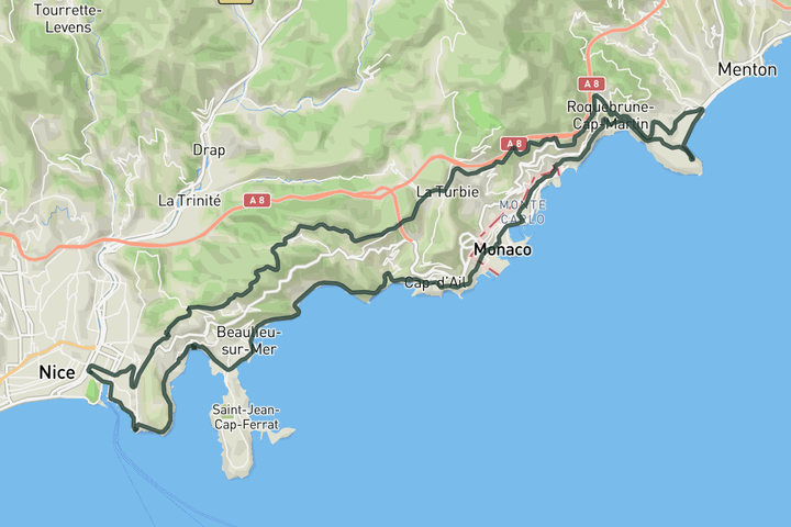
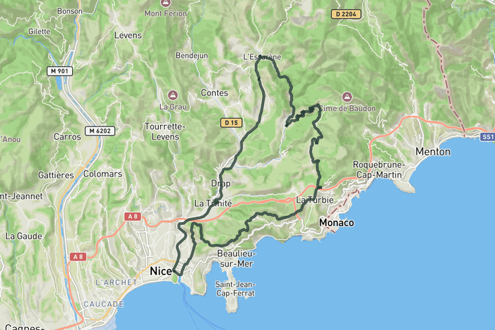
Monaco Sightseeing
55.6 km • 942 m • Moderate
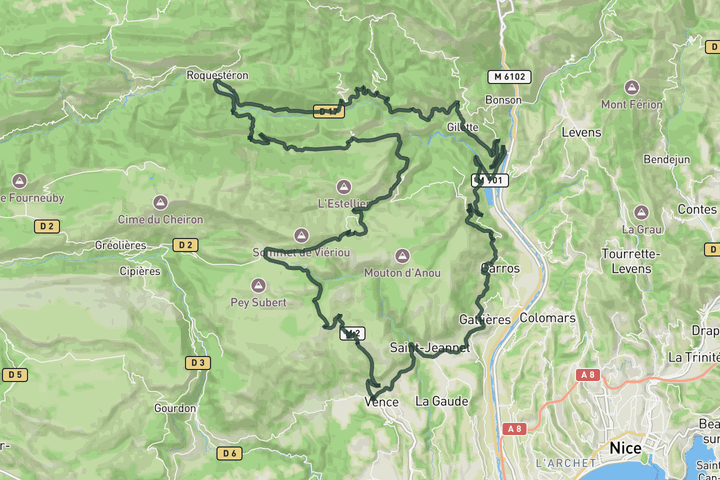
Roquestéron loop
103.7 km • 1757 m • Hard
Sign up for free to see all :count routes for :destination
Already have an account? Log inSign up for free to see all 9 routes for Nice - Cote d'Azur
Get access to the map, filters and routes.
Other areas in Nice - Cote d'Azur
Plan Your Visit to Nice - Cote d'Azur
Discover where to stay, climbs, routes, bike rentals, cafes, and everything you need to plan your cycling trip in the Nice - Cote d'Azur Guide.