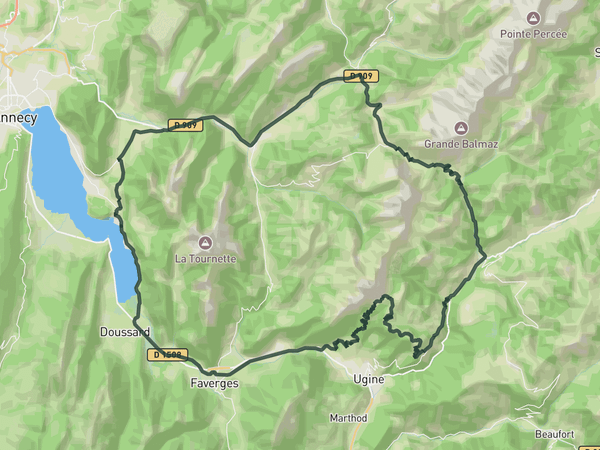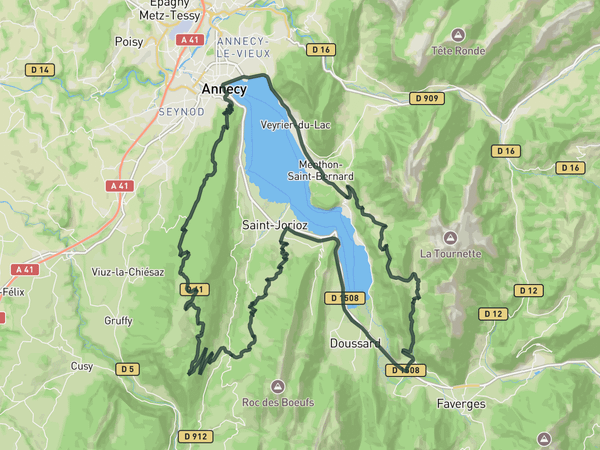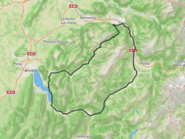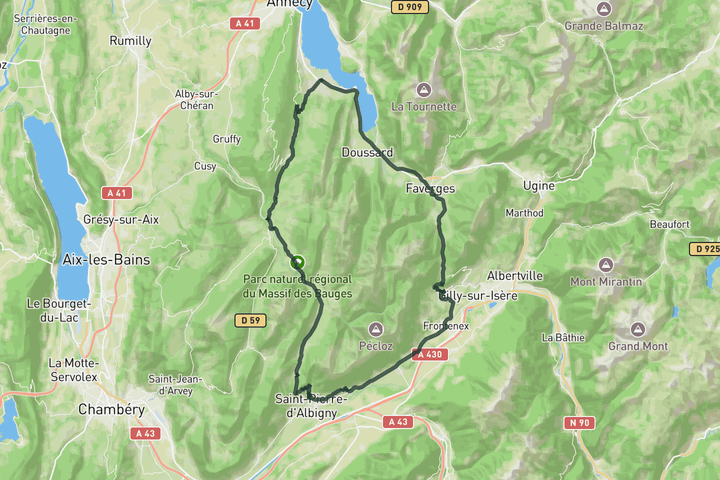
Interactive map
Zoom in, see climb and cafe markers, and download the GPX. Included with guide access.
Get Access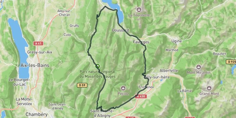 Show on Map
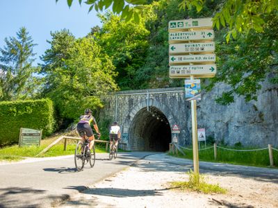
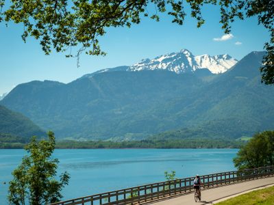
This route leaves the lake behind quickly, trading the busier shoreline roads for the quieter rhythm of the Bauges massif. Col de Leschaux works as a steady opening climb before the roads roll toward Col du Frêne and Col de Tamié.
None of the climbs feel especially hard on their own, but the combination creates a long day where the elevation builds gradually. The roads stay mostly quiet throughout, giving the route a smooth rhythm that suits longer steady riding across the massif.
Save this route, see all routes for Annecy, and plan trips with friends. Upgrade anytime for GPX downloads and climb details.
Sign up for freeThis road cycling route is part of our curated collection of Annecy cycling routes.

Discover where to stay, climbs, routes, bike rentals, cafes, and everything you need to plan your cycling trip in the Annecy Guide.
Loading trips...
Add "" to
Loading days...
Added successfully!