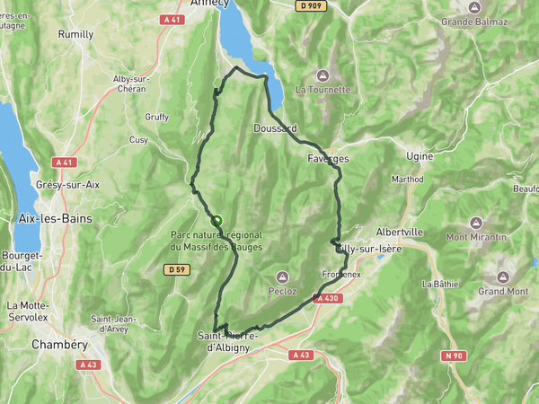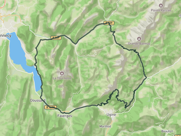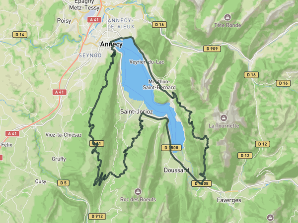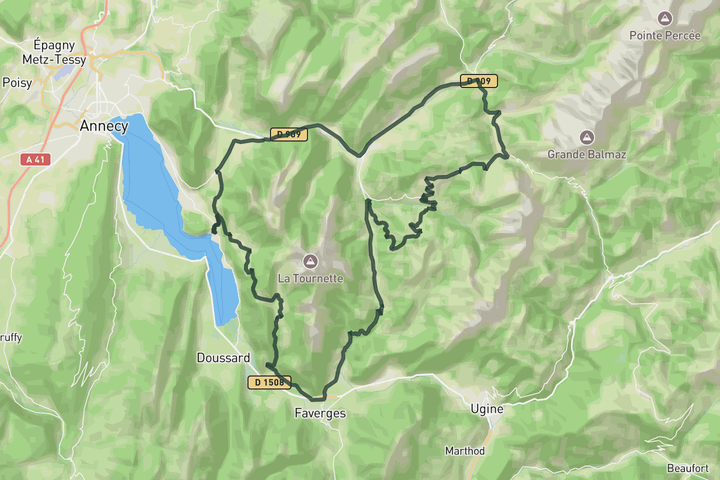
Interactive map
Zoom in, see climb and cafe markers, and download the GPX. Included with guide access.
Get Access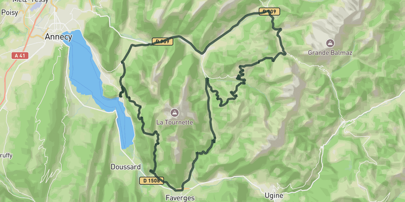 Show on Map
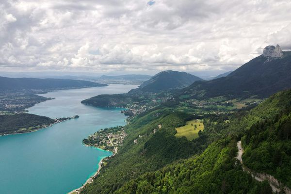
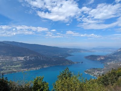
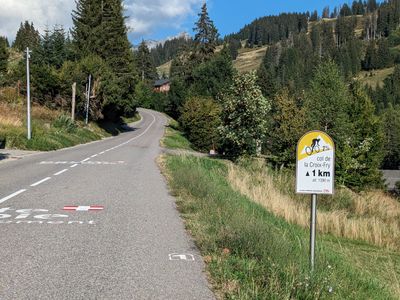
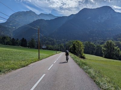
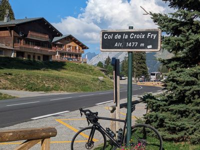
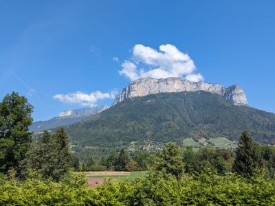
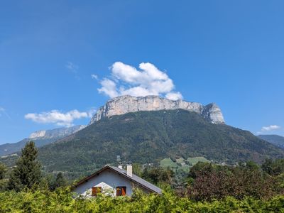
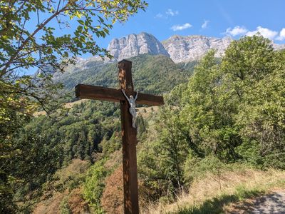
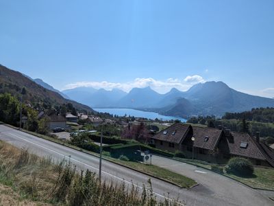
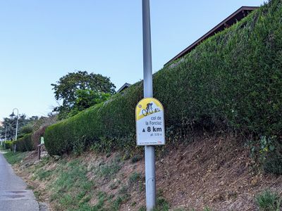
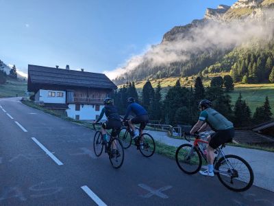
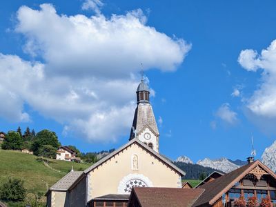
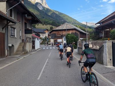
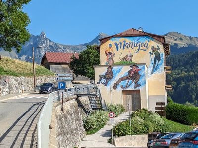
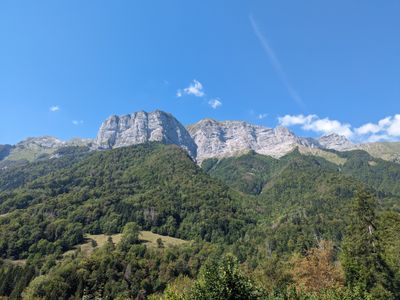
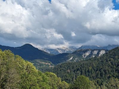
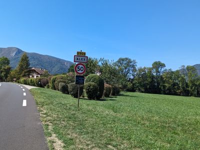
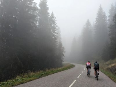
Starting from Talloires, the ride quickly builds into one of the most complete mountain days around Annecy, linking three very different climbs. Col de la Forclaz arrives early, with repeated views back across the lake before the road drops toward Faverges. From there, the route heads toward Plan Bois, the road becomes narrower and more irregular through open alpine pastures beneath the surrounding peaks. Col de la Croix Fry finishes the harder climbing of the day with a more flowing ascent above La Clusaz. The route constantly shifts between exposed mountain scenery, quieter forest roads and wider valley sections, giving the ride a strong sense of progression throughout the day.
Save this route, see all routes for Annecy, and plan trips with friends. Upgrade anytime for GPX downloads and climb details.
Sign up for freeThis road cycling route is part of our curated collection of Annecy cycling routes.
Discover where to stay, climbs, routes, bike rentals, cafes, and everything you need to plan your cycling trip in the Annecy Guide.
Loading trips...
Add "" to
Loading days...
Added successfully!