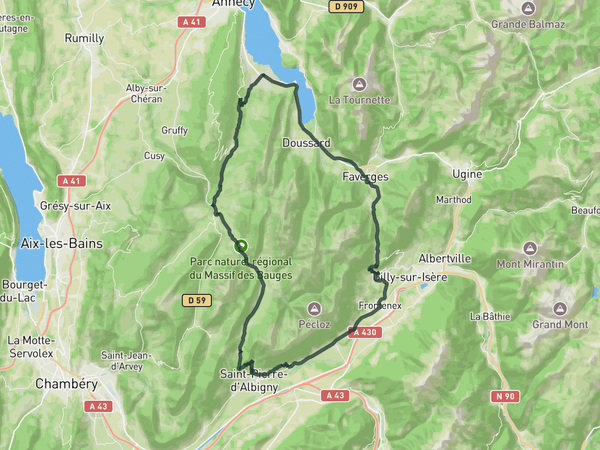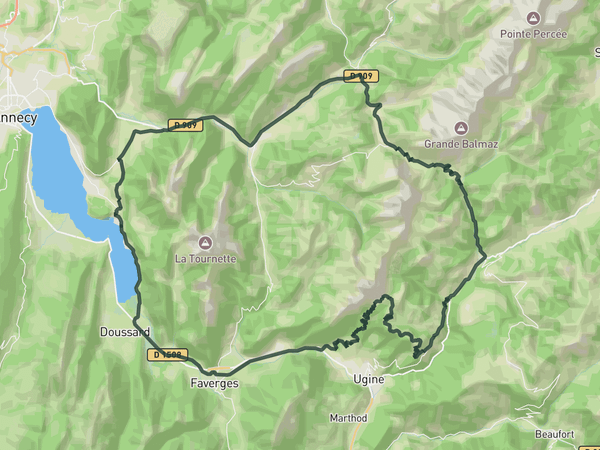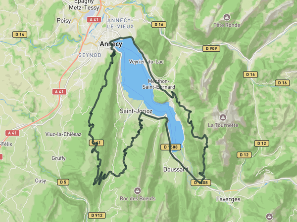
Interactive map
Zoom in, see climb and cafe markers, and download the GPX. Included with guide access.
Get Access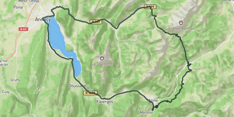 Show on Map
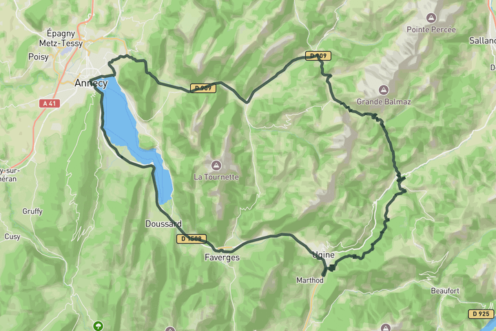
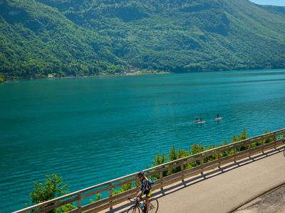
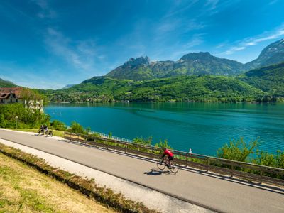
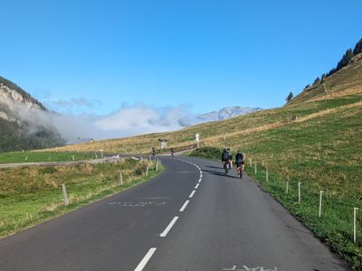
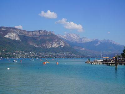
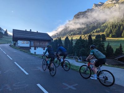
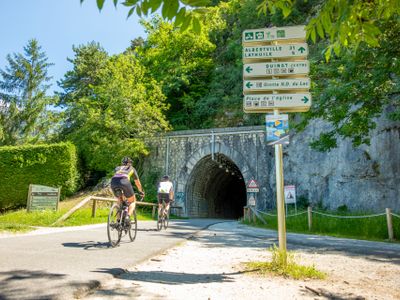
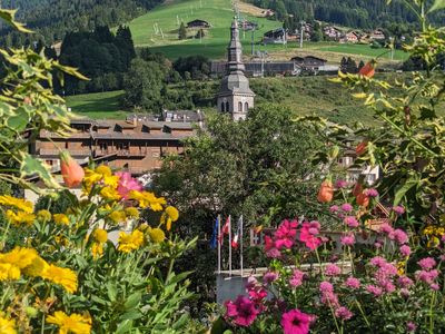
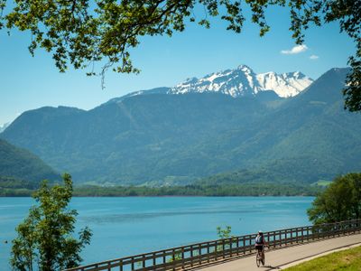
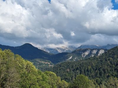
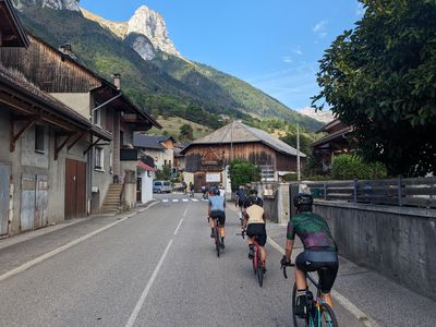
Starting from Saint Jorioz, this route follows the lake north toward Annecy before gradually heading into the valleys beneath the Aravis massif. The roads stay fast and flowing through Thônes and Saint Jean de Sixt, with the larger mountain scenery building steadily as the route approaches Col des Aravis. The climb itself feels consistent rather than overly steep, opening progressively toward wider alpine views near the summit and the surrounding peaks above La Clusaz. After the pass, the route descends through longer valley roads and quieter sections before eventually returning toward the lake, giving the ride a smooth rhythm despite the distance.
Save this route, see all routes for Annecy, and plan trips with friends. Upgrade anytime for GPX downloads and climb details.
Sign up for freeThis road cycling route is part of our curated collection of Annecy cycling routes.
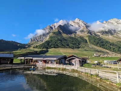
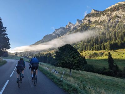

Discover where to stay, climbs, routes, bike rentals, cafes, and everything you need to plan your cycling trip in the Annecy Guide.
Loading trips...
Add "" to
Loading days...
Added successfully!