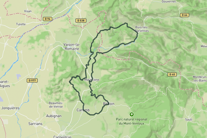
Interactive map
Zoom in, see climb and cafe markers, and download the GPX. Included with guide access.
Get Access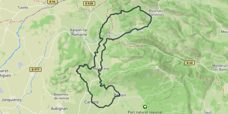 Show on Map
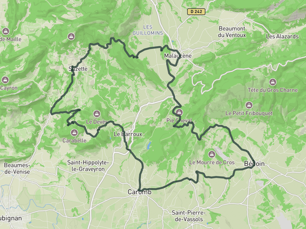
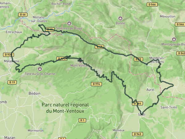
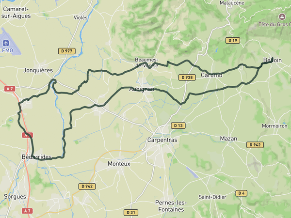
From Bedoin the road quickly narrows into vineyard lanes and quiet villages, leaving the Ventoux crowd behind. You follow the l'Ouveze river for a bit before turning toward Col de Perponcher, a steady effort that warms you up for the steeper Col de Propriac just after. From there you drop into Malaucene, where Col de la Chaine waits as the final climb before rolling back to town.
If you want a shorter day, turn left before the Col de la Chaine to retrace the outbound road you took earlier in the day.
Save this route, see all routes for Mont Ventoux, and plan trips with friends. Upgrade anytime for GPX downloads and climb details.
Sign up for freeThis road cycling route is part of our curated collection of Mont Ventoux cycling routes.
Discover where to stay, climbs, routes, bike rentals, cafes, and everything you need to plan your cycling trip in the Mont Ventoux Guide.
Loading trips...
Add "" to
Loading days...
Added successfully!