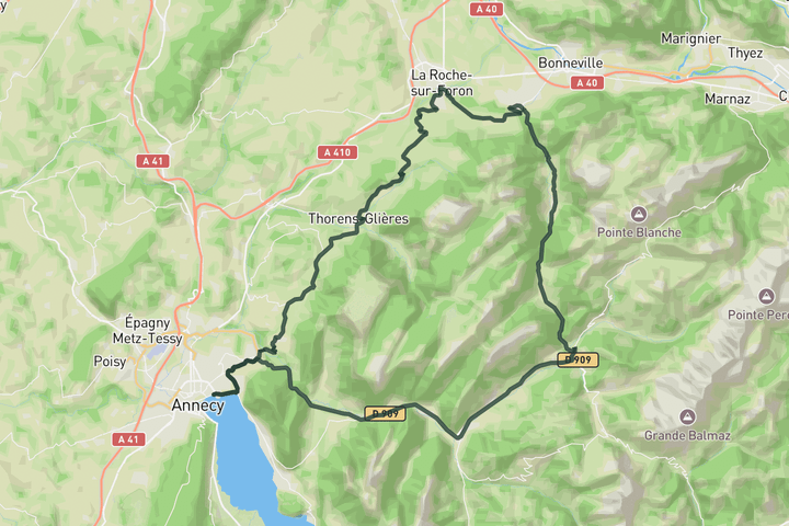
Interactive map
Zoom in, see climb and cafe markers, and download the GPX. Included with guide access.
Get Access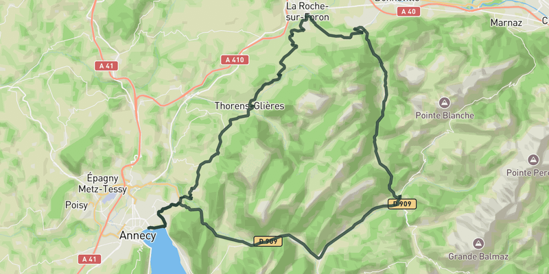 Show on Map
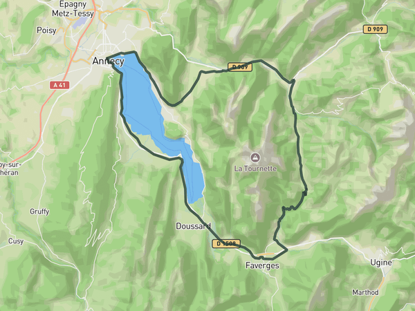
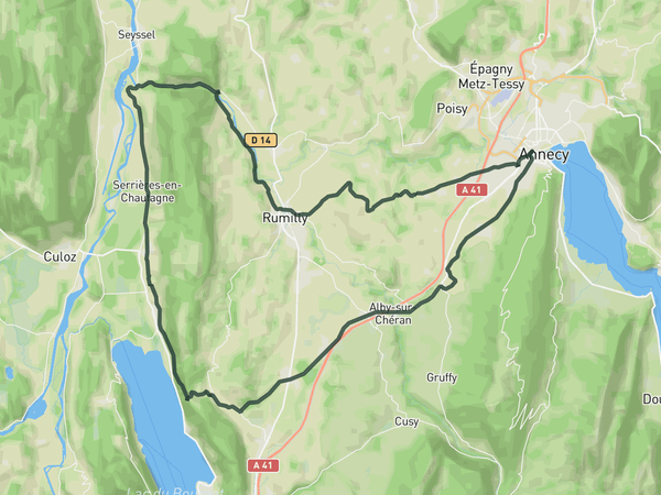
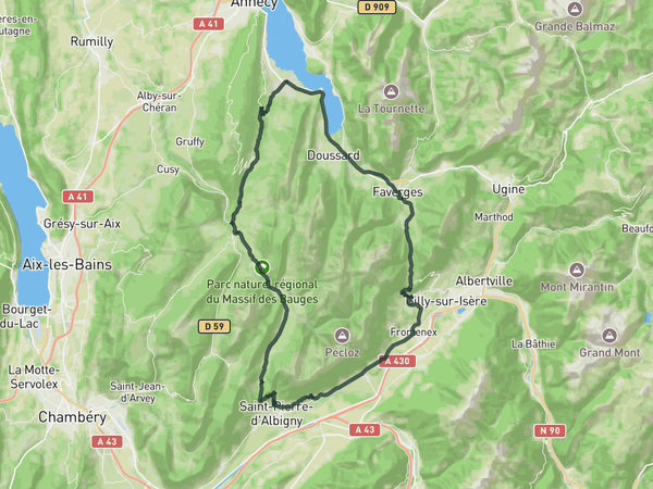
This route leaves Annecy through quieter rolling roads before heading toward Thônes and Saint-Jean-de-Sixt beneath the larger peaks of the Aravis massif. The route circles the mountains through a constantly changing mix of valleys, forested sections and open farmland as it passes through La Roche-sur-Foron and Thorens-Glières. The terrain changes constantly throughout the day, alternating between steady drags, faster valley roads and shorter climbs without ever settling into one long ascent. It feels exploratory and varied from start to finish, with a strong sense of moving continuously through different landscapes before returning toward the lake.
Save this route, see all routes for Annecy, and plan trips with friends. Upgrade anytime for GPX downloads and climb details.
Sign up for freeThis road cycling route is part of our curated collection of Annecy cycling routes.
Discover where to stay, climbs, routes, bike rentals, cafes, and everything you need to plan your cycling trip in the Annecy Guide.
Loading trips...
Add "" to
Loading days...
Added successfully!