Road Cycling Routes near San Cristobal de la Laguna
Discover the best road cycling routes near San Cristobal de la Laguna in Tenerife, Spain. We've curated 6 road cycling routes within riding distance of San Cristobal de la Laguna. The area offers mountainous terrain. Each route includes GPX files, detailed elevation profiles, highlighted climbs, and recommended café stops along the way.
6 routes

Up and dooooowwwn el Teide
102.0 km • 2510 m • Epic
From La Orotava, this route takes you all the way up to El Portillo and toward the Teide Observatory, a climb of nearly 2000 meters. From there, follow the road down into the Las Lagunetas Protected Landscape, heading toward San Cristobal de La Laguna and then down to the coast. It’s a descent that stretches for almost 50 kilometers. For the final part, ride parallel to the coastline to make your way back into town.

Teide XL from la Laguna
170.8 km • 3472 m • Epic
Leaving from La Laguna puts you on the climb right from the start. After around 40 kilometers, you’ll reach El Portillo, with only a short stretch of climbing left near the top of El Teide. From there, descend through Vilaflor and ride about 80 kilometers parallel to the coast on scenic, winding roads.

Coast to Coast
69.1 km • 1970 m • Hard
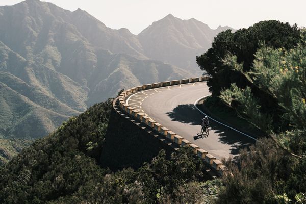
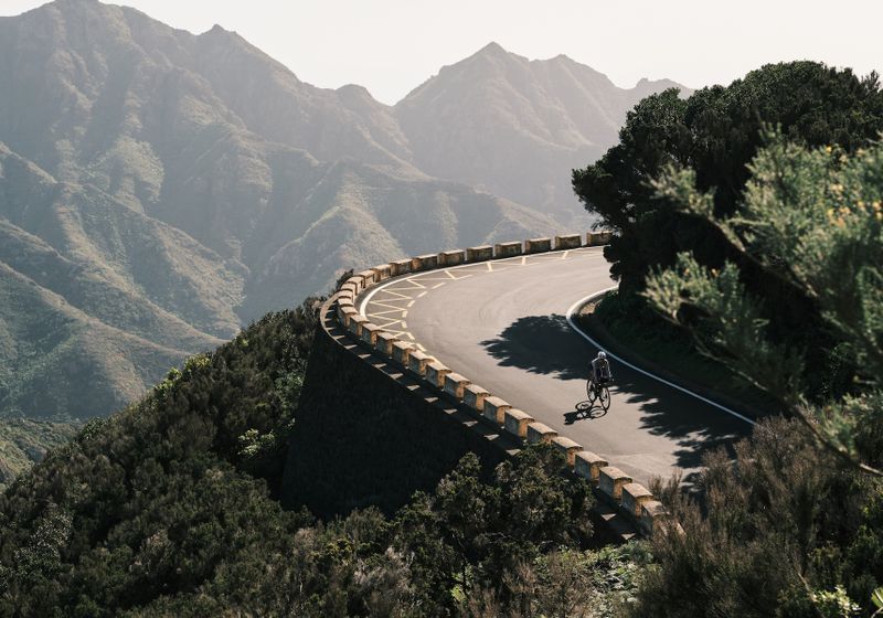
Climb the winding roads up Parque Rural de Anaga twice to take in the coastal views from both sides of the mountains. If you’re looking to extend the ride, consider heading east toward La Cumbrilla.

Observatorio del Teide (954 TEN)
92.3 km • 2630 m • Epic
Right from the start, this climb heads straight up to the Teide Observatory (954 TEN), with about 2000 meters of elevation—so come prepared. Once you reach the observatory, take a moment to soak in the views. If you need to refuel, you’ll need to ride a bit further to El Portillo. Otherwise, turn back and enjoy the long descent. The last 15 kilometers run parallel to the coastline, leading you back to where you started.

Bailadero - Anaga Mountains
52.6 km • 1250 m • Moderate
This route serves up spectacular views all the way up the Anaga Mountains and at the top. Along the way, you’ll hit two stunning viewpoints: Bailadero and Pico del Inglés. You can start this ride from either Santa Cruz or La Laguna.

Sign up for free to see all :count routes for :destination
Already have an account? Log inSign up for free to see all 6 routes for Tenerife
Get access to the map, filters and routes.
Other areas in Tenerife
Plan Your Visit to Tenerife
Discover where to stay, climbs, routes, bike rentals, cafes, and everything you need to plan your cycling trip in the Tenerife Guide.