Road Cycling Routes near Port de Pollença
Discover the best road cycling routes near Port de Pollença in Mallorca, Spain. We've curated 13 road cycling routes within riding distance of Port de Pollença. The area offers mountainous terrain. Each route includes GPX files, detailed elevation profiles, highlighted climbs, and recommended café stops along the way.
13 routes

Classic loop up Coll de Sa Bataia
70.2 km • 800 m • Moderate
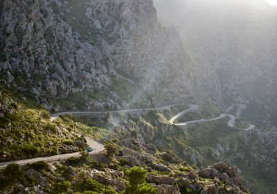
This route is a true classic and can be riden in both directions. You can start from Pollença or from Alcúdia and it works just as well either way. The opening section rolls through quiet roads and calm countryside. You pass through sa Pobla before reaching the base of the climb near Caimari. The ascent is a joy, with beautiful hairpin corners and smooth tarmac. Much of the road is shaded by trees, which keeps the climb comfortable even on warmer days. From the top, you are rewarded with a long and flowing descent all the way back to town.

Mallorca - MA10
121.0 km • 2400 m • Hard
The Ma-10 route is the most iconic ride in the Serra de Tramuntana, offering a combination of challenging climbs and breathtaking coastal views. You can ride the route in both direction and both are equally beautiful. To ride this route we recommend booking a ride on the Mallorca Cycle Shuttle which will take you to the start of the ride or bring you back home. We'd suggest to take the shuttle to the starting point in the morning so you don't have to worry about the logistics at the end of the ride.

Sa Calobra route
108.4 km • 1947 m • Hard
Head out from Alcudia and follow the quite secondary roads towards the Coll de sa Batalla climb. Follow the road to the Gorg Blau Aqueduct and take a right turn, once you go down there is only one way up! Descent till the coast and enjoy the spectacular views! At the Port of Sa Calobra you can take a quick brake before tackling the big climb up again. The road back takes you down via Coll de Femenia and Pollença.

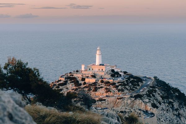
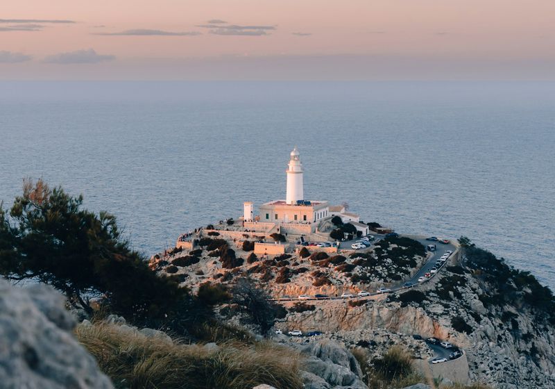
Cap des Pinar
49.0 km • 391 m • Easy
This shorter route takes you onto the scenic road that climbs to the Ermita de la Victòria on the Cap des Pinar peninsula. From the church you get a beautiful view across the bay of Pollenca. Then follow the coast back and head inland to enjoy peaceful countryside views before rolling back via the main coastal road.

Loop to Puig de Santa Magdalena
108.6 km • 869 m • Hard
This route begins smooth and mostly flat as it follows the coast. It then turns inland and rolls into the heart of the Mallorcan interior. After Inca, around two thirds into the ride, take the out and back climb to Puig de Santa Magdalena (also known as Puig de Son Sastre). On any other ride, you would likely pass it by without a second thought. At the summit sits the Ermita Santa Magdalena, a monastery with origins in the 13th century. At 280 meters, this is the highest point of the route and a quietly satisfying highlight of the day.

Sign up for free to see all :count routes for :destination
Already have an account? Log inSign up for free to see all 13 routes for Mallorca
Get access to the map, filters and routes.
Other areas in Mallorca
Plan Your Visit to Mallorca
Discover where to stay, climbs, routes, bike rentals, cafes, and everything you need to plan your cycling trip in the Mallorca Guide.