Road Cycling Routes near Stavelot
Discover the best road cycling routes near Stavelot in Ardennes, Belgium. We've curated 12 road cycling routes within riding distance of Stavelot. The area offers hilly terrain. Each route includes GPX files, detailed elevation profiles, highlighted climbs, and recommended café stops along the way.
12 routes
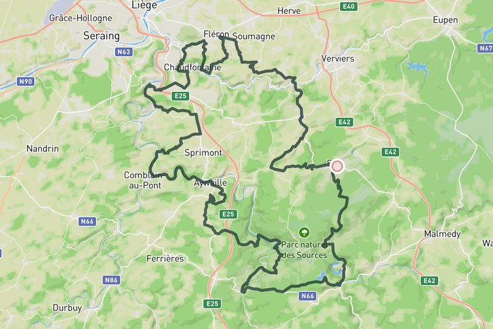
Spa-Liege-Spa
155.0 km • 2760 m • Epic
This long, challenging route out of Spa takes you deep into the Parc Naturel des Sources, all the way to Liège and back. Spanning 155 km with 2,760 meters of climbing, it's packed with tough, lesser-known climbs .l keep you honest. It’s the kind of ride that guarantees a full day in the saddle and plenty of stories to bring home.
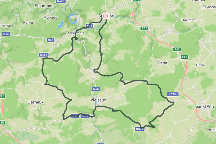
Scenic Ardennes Ride
73.9 km • 1210 m • Moderate
Roll out easy on the RAVeL from Stavelot, then climb out of the valley toward Bergeval. You'll pass the Lienne Beer brewery, then it kicks up again toward Commanster — a tiny village hidden above Vielsalm, out in the middle of nowhere. From there, it’s quiet roads heading north. You’ll take on Mont-le-Soie from the south before dropping down into the final climb of the day the côte de Wanne.
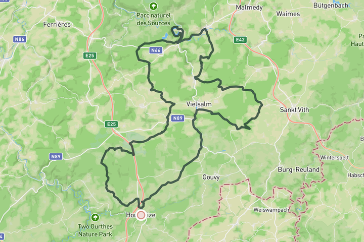
Heart of the Ardennes
134.0 km • 2170 m • Hard
This route dives straight into the soul of the Ardennes. Right from the start, you’ll roll past Brasserie Chouffe, home of the iconic La Chouffe beer. From there, it’s a mix of rolling terrain that carries you to the scenic reservoir lake of Coo. A perfect spot to pause for a coffee or bite at Le Coffee Ride. From there, the RAVeL path rolls you into Stavelot, setting you up for the classic Col du Stockeu. After that punchy climb, you’ll drop down Côte de Wanne and head straight into Côte de Mont-le-Soie. The final stretch winds through the rolling countryside past Vielsalm, guiding you back to Houffalize. It’s a demanding but fun loop
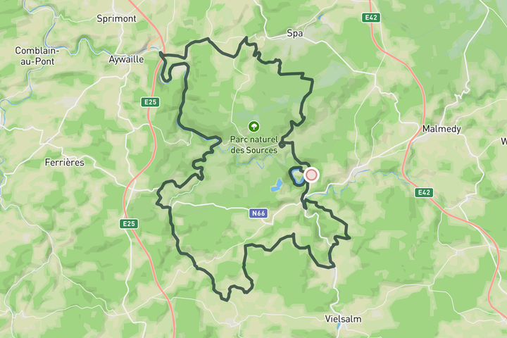
100km loop - Col du Rosier & Côte de Wanne
101.0 km • 1540 m • Hard
This 100 km ride works well starting from Stavelot, Coo, or Spa with a small tweak. You'll head up the Col du Rosier first, then settle into the middle stretch. It’s mostly flat, with a slight uphill pull, and full of great views. The final section kicks in with the Côte de Wanne, followed by a descrend back into Stavelot. From there, it’s an easy roll on the RAVeL straight back to Coo.
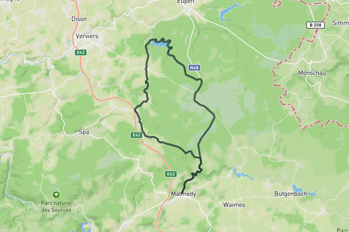
Lake Gileppe and Baraque Michel
59.9 km • 855 m • Moderate
This route takes you north of Malmedy to the Gileppe Reservoir. After following the lakeshore roads, you'll climb toward the Baraque Michel, the highest point in Belgium. From the top, enjoy a fast descent back to town.
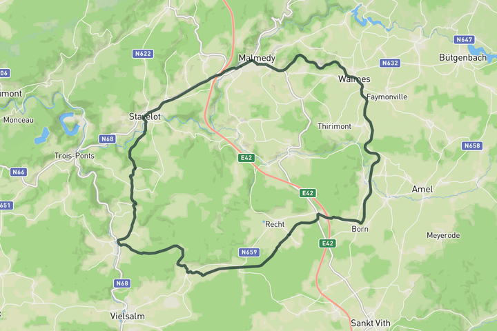
Sign up for free to see all :count routes for :destination
Already have an account? Log inSign up for free to see all 12 routes for Ardennes
Get access to the map, filters and routes.
Other areas in Ardennes
Plan Your Visit to Ardennes
Discover where to stay, climbs, routes, bike rentals, cafes, and everything you need to plan your cycling trip in the Ardennes Guide.