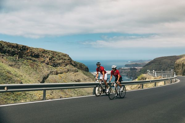
Road Cycling Routes near Agaete
Discover the best road cycling routes near Agaete in Gran Canaria, Spain. We've curated 5 road cycling routes within riding distance of Agaete. The area offers mountainous terrain. Each route includes GPX files, detailed elevation profiles, highlighted climbs, and recommended café stops along the way.
5 routes
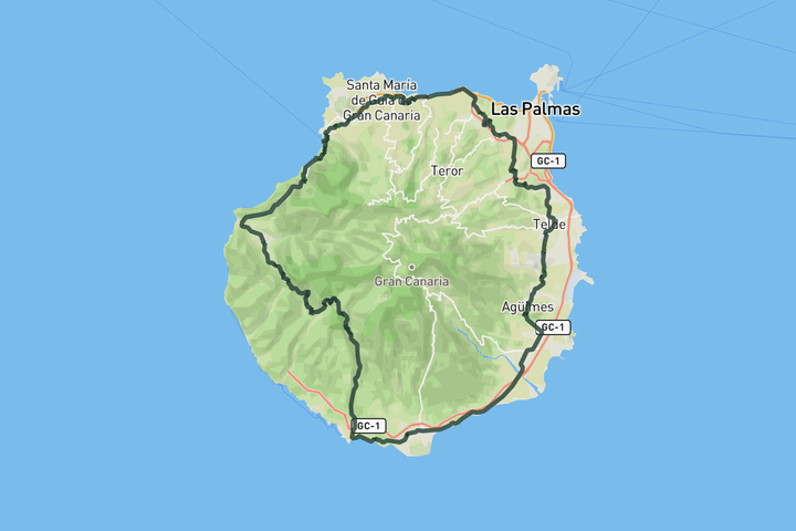
Full loop around Gran Canaria
f you want to circle the volcano on Gran Canaria, then this one is for you. This epic route is a real challenge and should not be taken lightly. You can start basically anywhere on the loop and ride in either direction, but our route starts in Maspalomas so that you can get the hardest part out of the way first.
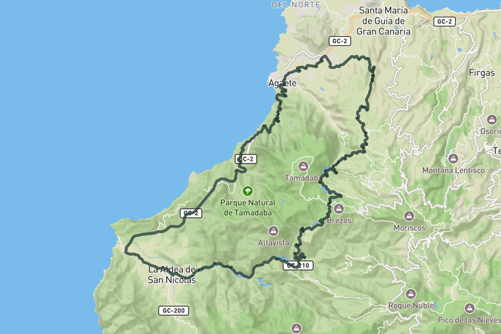
Tamada Natural Park Loop
This route starts in Agaete and follows the dramatic west coast before turning inland toward one of Gran Canaria’s most legendary climbs. After a rolling start through cliffs and terraced valleys, the road pitches up hard from La Aldea into the Valle de las Lágrimas. The gradients build quickly as the route winds past sheer rock walls and quiet fincas. You catch sharp views into ravines and dry riverbeds as the climb unfolds. Higher up, the road passes a chain of dams and reservoirs that add to the sense of scale. From this high plateau, the views open wide toward Roque Bentayga, standing alone in the island’s volcanic heart. From here, the route curves gently back north and returns you to Agaete.
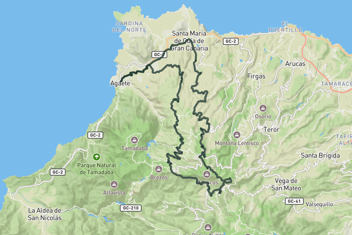
Alto de Moriscos, Cruz de Tejeda and Artenara from Agaete
This circular from Agaete climbs to Alto de los Moriscos from Santa María de Guía, rising steadily through open farmland and forested slopes. From there, the route continues to Cruz de Tejeda, one of Gran Canaria’s most iconic climbs, tracing the island’s central ridge with wide views across ravines and volcanic peaks. The return drops west through the rugged hills near Artenara, descending along narrow valleys and quiet backroads to rejoin the coast near Agaete.
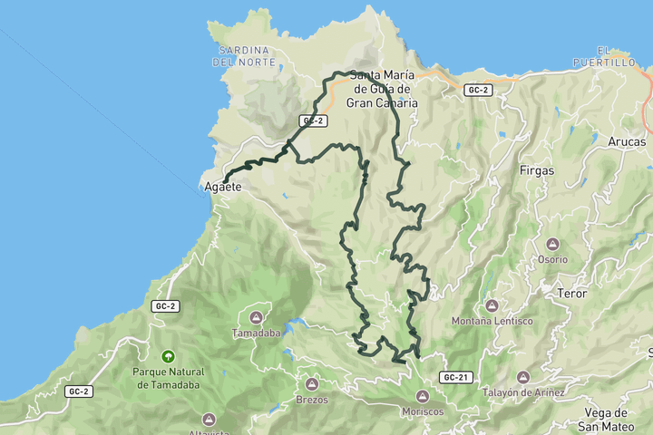
Alto de Los Moriscos ride
This circular ride from Agaete climbs steadily along the island’s northwestern slopes, following a quiet inland ascent to Alto de los Moriscos via Hoya Pineda. Like many routes on Gran Canaria, it finishes with a smooth, flowing descent that carries you all the way back to the coast.
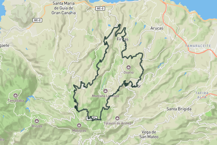
Moya and Alto de Los Moriscos from Teror
This ride drops out of Teror and heads north toward Firgas, quickly entering the lower reaches of the Barranco de la Virgen, a deep, green gorge framed by steep slopes. Emerging from the ravine you reach Moya, a peaceful town tucked into the hillside. Then, begin the steady climb up toward Alto de Los Moriscos through the Tilos de Moya, known for its shaded laurel groves and quiet, forested slopes. The road traces the edge of the Caldera de Galdár before rising to the high point, with wide vistas over inland valleys and distant peaks. The descent on the GC‑21 carries you through rolling terrain past Lanzarote and Valleseco, where pine forests and open ridges shift the mood from deep gorge to expansive hill country. From there, quiet lanes and rolling farmland lead back to Teror.
Sign up for free to see all 5 routes
Get access to the map, filters and routes.
Other areas in Gran Canaria
Plan Your Visit to Gran Canaria
Discover where to stay, climbs, routes, bike rentals, cafes, and everything you need to plan your cycling trip in the Gran Canaria Guide.