Road Cycling Routes near Maspalomas
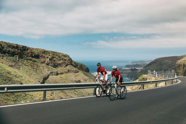
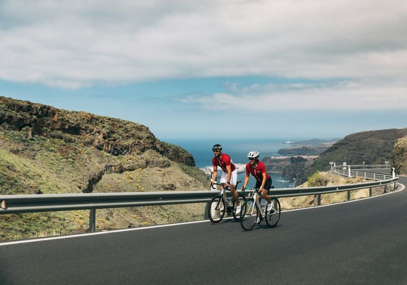
Discover the best road cycling routes near Maspalomas in Gran Canaria, Spain. We've curated 6 road cycling routes within riding distance of Maspalomas. The area offers mountainous terrain. Each route includes GPX files, detailed elevation profiles, highlighted climbs, and recommended café stops along the way.
6 routes
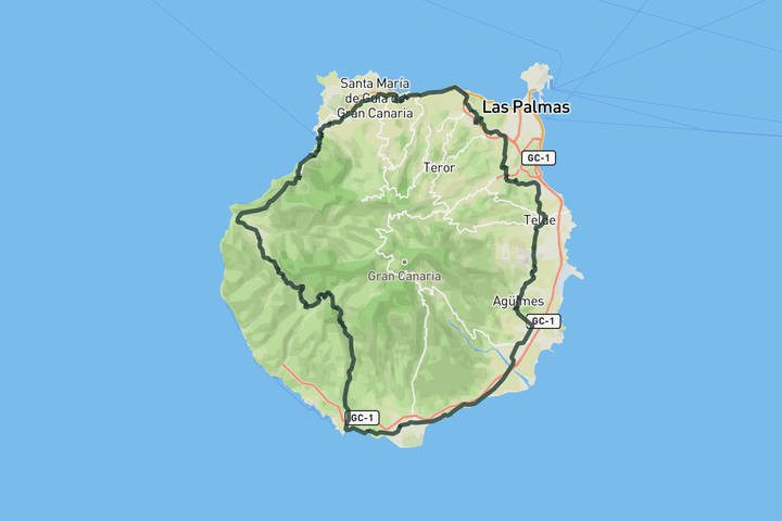
Full loop around Gran Canaria
198.7 km • 3612 m • Epic
This epic loop circles the central volcanic massif of Gran Canaria. Start in Maspalomas and head directly into the mountains to tackle the steepest gradients while your legs are fresh. You climb through the Fataga valley toward the caldera rim before the landscape opens into pine forests. The route descends back to the coast through long, winding canyon roads where the asphalt is often loose near the cliff edges.

Pico de las Nieves from Maspalomas
111.2 km • 2497 m • Hard
Starting in Maspalomas, this loop climbs through palm lined ravines and terraced slopes as it winds up through Fataga toward San Bartolomé de Tirajana. After passing Ayacata, the road gets steeper and wind its way toward Pico de las Nieves, the highest point on the island. From here, you descend back along the same road to Ayacata before turning toward Barranquillo Andrés for a long and beautiful descent down to the coast. The final stretch flattens as you return to the warm, dry coast of Maspalomas.

Ayagaures Dam
25.0 km • 459 m • Easy
The loop to Ayaguares and the Dam is a short and scenic loop. Riding it in this direction keeps the gradients friendly. Once you arrive at the Dam you can follow the reservoir lake for a little until it becomes unpaved, you can decided to continue off road if you feel like it.
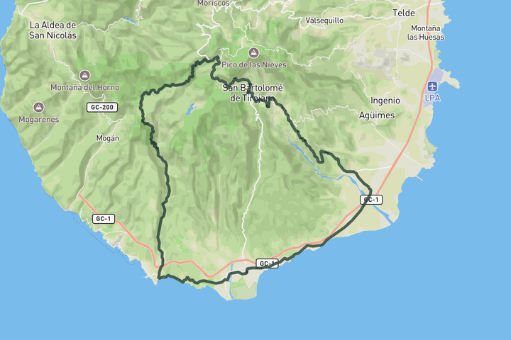
Coast to Top loop
104.3 km • 1839 m • Hard
This coastal to volcano loop starts in Maspalomas and takes you west towards Santa Águeda. From there, it turns inland and follows the Arguineguín valley at an easy, steady pace. Here the road start to go up and what follows is a long and demanding climb. It pitches up sharply as you ride past volcanic walls and into pine forest on the way to Cruz de San Antonio. This is the toughest part of the route. Keep climbing until your reach Ayacata, the highest point of the day. From there a fast descent through San Bartolomé and Santa Lucía follows. Soon after, the road leads you into the dramatic red rock gorge of Guriete. Once you roll into Vecindario, you are set up for the final stretch along the coast, which brings you back to Maspalomas.

Coast-Ferry-Serenity
77.0 km • 1172 m • Moderate
This route blends quiet coastal roads, a scenic boat ride and a big climbs deep into Gran Canaria’s volcanic interior. It starts in Maspalomas, heading west along the coast toward Puerto de Mogán. With the Taurito road closed due to a landslide in 2017, you take a short ferry across the bay, an unexpected highlight with sweeping views of the cliffs from the sea. In Puerto de Mogán, the road turns inland through the lush, winding Barranco de Mogán before joining the GC 605, a narrow, twisting ribbon of tarmac that climbs toward the remote Puerto de Tauro, flanked by rugged rock walls and open sea views. The descent back to the coast is fast and flowing.

Sign up for free to see all :count routes for :destination
Already have an account? Log inSign up for free to see all 6 routes for Gran Canaria
Get access to the map, filters and routes.
Other areas in Gran Canaria
Plan Your Visit to Gran Canaria
Discover where to stay, climbs, routes, bike rentals, cafes, and everything you need to plan your cycling trip in the Gran Canaria Guide.